


Hils
Mountain range
The Hils is a range of hills in Germany's Central Uplands that is up to 480.4 m high. It is located in the districts of Holzminden, Hildesheim and Northeim, in the state of Lower Saxony.
Nº Q1618894 ★
Common · Places
Hils
Mountain range
The Hils is a range of hills in Germany's Central Uplands that is up to 480.4 m high. It is located in the districts of Holzminden, Hildesheim and Northeim, in the state of Lower Saxony.
On the map
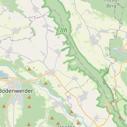
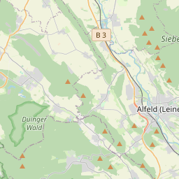

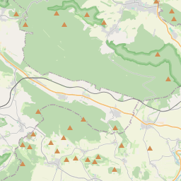
From Wikipedia
The Hils is a range of hills in Germany's Central Uplands that is up to 480.4 m high. It is located in the districts of Holzminden, Hildesheim and Northeim, in the state of Lower Saxony.
Text: Wikipédia, CC BY-SA 4.0. · Image: Maps for Free (cropped/reworked by bdk) (CC BY-SA 3.0) ·
Related cards
-

Hildesheim Forest
Mountains in Germany
Nº Q1618461 ★
Not listed
-

Wiehen Hills
Mountain range
Nº Q702826 ★★★
Not listed
-

Heber (hills)
Mountain range
Nº Q266275 ★
Not listed
-

Harburg Hills
Mountain range
Nº Q881814 ★★★
Not listed
-

Selter (hills)
Mountains in Germany
Nº Q2268700 ★
Not listed
-

Lippe Uplands
Mountain range
Nº Q875161 ★★
Not listed