
Hoher Bogen
Mountain
The Hohe Bogen (archaically often Hohenbogen) is a roughly 8-kilometre-long mountain ridge in the Bavarian Forest. It rises in the Bavarian province of Upper Palatinate in the county of Cham and is almost equally divided between the municipalities of Neukirchen b. Hl.
Nº Q1299023 ★★★
Rare · Places
Hoher Bogen
Mountain
The Hohe Bogen (archaically often Hohenbogen) is a roughly 8-kilometre-long mountain ridge in the Bavarian Forest. It rises in the Bavarian province of Upper Palatinate in the county of Cham and is almost equally divided between the municipalities of Neukirchen b. Hl.
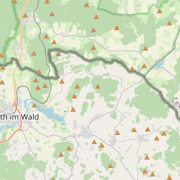
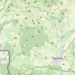
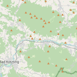
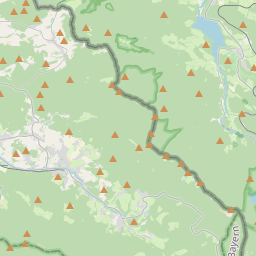
On the map
Last price
—
Floor price
—
7-day median
—
30-day sales
0
30-day range
—
In circulation
0
Price history
median
low – high
sales
No sales in this period
Show table
| Date | median | Low | High | sales |
|---|
Sales history
- Last sale
- —
- 30-day average
- —
- 30-day low
- —
- 30-day high
- —
- Sales 7d
- 0
- Sales 30d
- 0
No sales yet.
Anonymous sales: no buyer or seller shown. Figures count player-to-player sales only.
From Wikipedia
The Hohe Bogen (archaically often Hohenbogen) is a roughly 8-kilometre-long mountain ridge in the Bavarian Forest. It rises in the Bavarian province of Upper Palatinate in the county of Cham and is almost equally divided between the municipalities of Neukirchen b. Hl. Blut, Rimbach and Eschlkam between Furth im Wald and Bad Kötzting. Its territory includes, from northwest to southeast, the summits of the Burgstall (976 m), Bärenriegel (1,017 m), Eckstein (1,073 m), Schwarzriegel (1,079 m) and Ahornriegel (1,050 m). On the Burgstall there is a transmission site, on the Schwarzriegel is an old Luftwaffe transmission tower. On the northern slopes of the Ahornriegel is a ski area. A double chairlift, 1.36 kilometres long, transports passengers through 393 vertical metres in 15 minutes and runs to the top of the mountain.
Text: Wikipédia, CC BY-SA 4.0. · Image: Konrad Lackerbeck (CC BY 3.0) ·
Related cards

Großer Arber
Highest mountain of the Bohemian Forest in Bavaria, Germany
Nº Q260073 ★★★★

Hoher Ifen
Mountain of the Allgäu Alps at the border of Vorarlberg, Austria, and Bavaria, Germany
Nº Q315293 ★★★★

Höllengebirge
Mountain range
Nº Q261154 ★★★

Hoher Sonnblick
Mountain in the Goldberg Group in Salzburg
Nº Q877393 ★★★

Hochvogel
Mountain of the Allgäu Alps at the border of Tyrol, Austria, and Bavaria, Germany
Nº Q455546 ★★★★

Hohe Salve
Mountain in the Kitzbühel Alps in Tyrol
Nº Q668367 ★★★