

Uncommon · Places
Hotan County
County of Hotan Prefecture, Xinjiang, China
Hotan County (also known as Gosthana, Gaustana, Godana, Godaniya, Khotan, Hetian, and Hotien) is a county in the southwest of the Xinjiang Uyghur Autonomous Region and is under the administration of the Hotan Prefecture. Almost all residents of the county are Uyghurs and live around oases situated between the desolate Taklamakan Desert and the Kunlun Mountains.
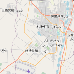
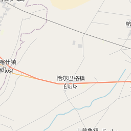
On the map
From Wikipedia
Hotan County (also known as Gosthana, Gaustana, Godana, Godaniya, Khotan, Hetian, and Hotien) is a county in the southwest of the Xinjiang Uyghur Autonomous Region and is under the administration of the Hotan Prefecture. Almost all residents of the county are Uyghurs and live around oases situated between the desolate Taklamakan Desert and the Kunlun Mountains. Hotan County is the southernmost county-level division of Xinjiang. The county borders Karakax / Moyu County to the northwest, Hotan City and Lop County to the northeast, Qira County to the east, Pishan County to the west, and (in Aksai Chin) Rutog County, Tibet to the southeast. Hotan County administers most of Aksai Chin, an area disputed between China and India. The Line of Actual Control divides the India-controlled part of Ladakh union territory from the Aksai Chin area administered as part of southwest Hotan County. The area of Hotan is originally known as and has been historically referred to as Godana (Godaniya), a Sanskrit name meaning "Land of the cows". In Chinese, the same name is written as Yu-t'ien. It is referred to as Gosthana by local Tibetans, which also means the same in Sanskrit. On 18 January 1913, Hotan became a county.
Text: Wikipédia, CC BY-SA 4.0. · Image: Voidvector (CC BY-SA 4.0) ·