

Common · Places
Innerferrera
Former municipality of Switzerland in Graubünden
Innerferrera (Romansh: Calantgil) is a village in the district of Hinterrhein in the Swiss canton of Graubünden. Previously an independent municipality, it merged on January 1, 2008 with neighboring Ausserferrera to form the municipality of Ferrera.
Read more
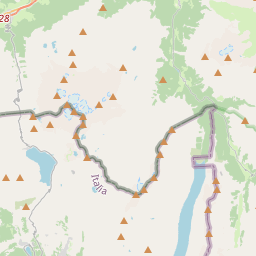
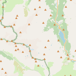
Innerferrera is first mentioned in 1556 as Canicül. Innerferrera has an area, as of 2006, of 44 km (17 sq mi). Of this, 22.9% is used for agricultural purposes, 11.7% is forested, 0.4% is settled (buildings or roads), and the remainder (65%) is non-productive (rivers, glaciers or mountains). The municipality is located in the Schams sub-district, of the Hinterrhein district. It is a haufendorf (an irregular, unplanned and quite closely packed village, built around a central square) on the Averser branch of the Rhine. In 2008 Innerferrera merged with Ausserferrera to form Ferrera. The dam of the Lago di Lei, in the Valle di Lei, is located on its territory. Innerferrera has a population (as of 2007) of 038, of which 5.3% are foreign nationals.
On the map
1 copy in circulation
Text: Wikipédia, CC BY-SA 4.0. · Image: Roland Zumbühl (CC BY-SA 3.0) ·