

Common · Places
Innerste Uplands
Mountain range in Lower Saxony, Germany
The Innerste Uplands (German: Innerstebergland) is a landscape region up to 359 m high and covering an area of over 900 km² in the northern part of the German Central Uplands. It lies within the eastern part of the Weser-Leine Uplands in Lower Saxony (Germany).
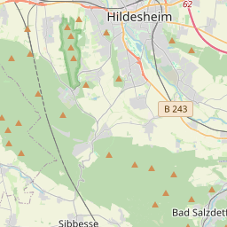
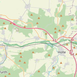
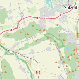
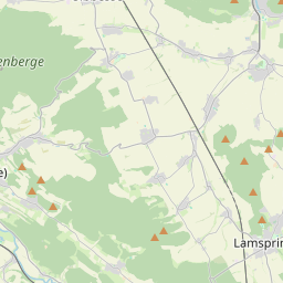
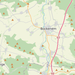
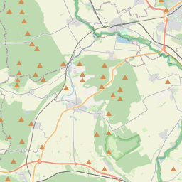
On the map
From Wikipedia
The Innerste Uplands (German: Innerstebergland) is a landscape region up to 359 m high and covering an area of over 900 km² in the northern part of the German Central Uplands. It lies within the eastern part of the Weser-Leine Uplands in Lower Saxony (Germany). The Innerste Uplands gets its name from the Innerste, a tributary of the River Leine.
Text: Wikipédia, CC BY-SA 4.0. · Image: Langläufer 09:57, 29. Okt. 2006 (CET) (CC BY-SA 3.0) ·


