
Interstate 73
Highway in the United States
Interstate 73 (I-73) is a north–south Interstate Highway, currently located entirely within the US state of North Carolina. It travels 93.5 miles (150.5 km), from northwest of Rockingham, North Carolina to northeast of Stokesdale, providing a freeway connection to Greensboro and Asheboro.
Nº Q94656 ★
Common · Places
Interstate 73
Highway in the United States
Interstate 73 (I-73) is a north–south Interstate Highway, currently located entirely within the US state of North Carolina. It travels 93.5 miles (150.5 km), from northwest of Rockingham, North Carolina to northeast of Stokesdale, providing a freeway connection to Greensboro and Asheboro.
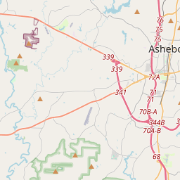
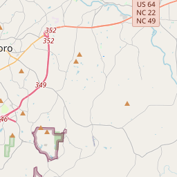
On the map
Last price
—
Floor price
—
7-day median
—
30-day sales
0
30-day range
—
In circulation
0
Price history
median
low – high
sales
No sales in this period
Show table
| Date | median | Low | High | sales |
|---|
Sales history
- Last sale
- —
- 30-day average
- —
- 30-day low
- —
- 30-day high
- —
- Sales 7d
- 0
- Sales 30d
- 0
No sales yet.
Anonymous sales: no buyer or seller shown. Figures count player-to-player sales only.
From Wikipedia
Interstate 73 (I-73) is a north–south Interstate Highway, currently located entirely within the US state of North Carolina. It travels 93.5 miles (150.5 km), from northwest of Rockingham, North Carolina to northeast of Stokesdale, providing a freeway connection to Greensboro and Asheboro. A majority of the route runs concurrently with other routes. I-73 is planned to be a much longer highway, defined by various federal laws to run from Myrtle Beach, South Carolina, to Sault Ste. Marie, Michigan; varied progress has been made in the states along its route. Associated with these plans are those for the extension of I-74 from Cincinnati to Myrtle Beach, with several highway overlaps contemplated.
Text: Wikipédia, CC BY-SA 4.0. · Image: Wikimedia Commons (Public domain) ·
Related cards

Interstate 77
Highway in the United States
Nº Q94764 ★★

Interstate 79
Interstate Highway in West Virginia and Pennsylvania
Nº Q94868 ★

Interstate 71
Interstate Highway in Kentucky and Ohio in the United States
Nº Q94639 ★★

Interstate 74
Interstate Highway in Iowa, Illinois, Indiana, Ohio, and North Carolina
Nº Q94667 ★★

Interstate 78
Interstate Highway in Pennsylvania, New Jersey, and New York
Nº Q94822 ★

Interstate 83
Interstate Highway in Maryland and Pennsylvania in the United States
Nº Q94891 ★