
Jaizkibel
Mountain range of the Basque Mountains
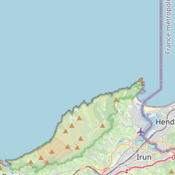
Jaizkibel is a mountain range of the Basque Country located east of Pasaia, north of Lezo and west of Hondarribia, in Spain, with 547 m (1,795 ft) at the highest point (peak Alleru). The range stretches south-west to north-east, where it plunges into the sea at the Cape Higuer (spelled Higher too).
Nº Q576888 ★★★
Rare · Places
Jaizkibel
Mountain range of the Basque Mountains
Jaizkibel is a mountain range of the Basque Country located east of Pasaia, north of Lezo and west of Hondarribia, in Spain, with 547 m (1,795 ft) at the highest point (peak Alleru). The range stretches south-west to north-east, where it plunges into the sea at the Cape Higuer (spelled Higher too).
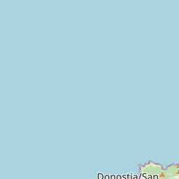
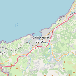
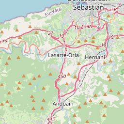
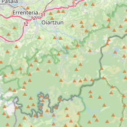
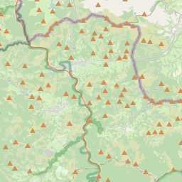
On the map
Last price
—
Floor price
—
7-day median
—
30-day sales
0
30-day range
—
In circulation
0
Price history
median
low – high
sales
No sales in this period
Show table
| Date | median | Low | High | sales |
|---|
Sales history
- Last sale
- —
- 30-day average
- —
- 30-day low
- —
- 30-day high
- —
- Sales 7d
- 0
- Sales 30d
- 0
No sales yet.
Anonymous sales: no buyer or seller shown. Figures count player-to-player sales only.
From Wikipedia
Jaizkibel is a mountain range of the Basque Country located east of Pasaia, north of Lezo and west of Hondarribia, in Spain, with 547 m (1,795 ft) at the highest point (peak Alleru). The range stretches south-west to north-east, where it plunges into the sea at the Cape Higuer (spelled Higher too). To the north-west, the mountain dips its slopes in the sea with beautiful cliffs all along, overlooking on the east the marshes of Txingudi, the river Bidasoa and its mouth (tracing the France–Spain border) as well as the towns of Irun, Hendaia and Hondarribia on the riverbanks. The nearest relevant mountains are La Rhune, Aiako Harria and Ulia, closing the view east to west from the south. Some people consider Jaizkibel to be the first westernmost mountain of the Pyrenees. The area is a relevant landmark on the grounds of its strategic position close to the border with France, with the range standing as the easternmost Spanish rise by the seaside and affording an unmatched view miles away, both over the sea and inland. As a result, the military has always showed an interest in the place since the 16th century when the Spanish-French border started to be drafted, taking to building defence facilities, such as the towers dotting the ridge (dating from the Carlist Wars) or the Fortress of Guadalupe going back to 1890, nowadays out of use. The northern slopes have borne witness to frequent military manoeuvres from the decade of the 50s through the early 90s, when the road to the booster station was sometimes cut off to avoid disruption and damage.
Text: Wikipédia, CC BY-SA 4.0. · Image: V.Vergne (CC BY-SA 3.0) ·
Related cards

Aizkorri
Mountain in Spain
Nº Q2828834 ★★★

Gorbea
Mountain
Nº Q557374 ★★★

Givat HaMoreh
Mountain in Israel
Nº Q1092415 ★

Bisaurin
Mountain in Spain
Nº Q2904601 ★★★

Galician Massif
Mountain ranges in Spain
Nº Q3327031 ★★

Caucasus Mountains
Mountain system spanning Eastern Europe and Western Asia
Nº Q5477 ★★★★★