

Common · Places
Jebel Dahar
Mountain range in Tunisia
Jebel Dahar (French: Djebel Dahar) is a low sandstone mountain chain of the Médenine Governorate of Tunisia.
Read more
The chain is oriented on a north-south axis, bisecting the south of Tunisia. At the northern end, it meets the east-west-oriented Jebel Tebaga. The Sahara lies to the south and west of it, and the fertile Jeffara plain to the east. It runs for over 100 kilometres (62 mi) south from Matmata, curving gently to the east to sink beneath the dunes of the Grand Erg Oriental near Tataouine. Foothills extend for a further 100 kilometres (62 mi) to the border with Libya, beyond which the chain continues as the Nafusa Mountains. The peaks of Jebel Dahar are lower than those of the Dorsale and Atlas chains. The tallest is Djebel Zemertène, at 713 metres (2,339 ft). However, they are imposing in form: most are steep-sided mesas, separated by either narrow ravines or wide valleys. The local climate is extremely arid with frequent wind.
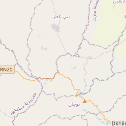
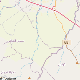
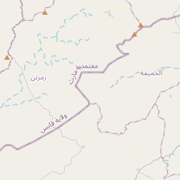
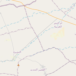
On the map
Text: Wikipédia, CC BY-SA 4.0. · Image: upyernoz (CC BY 2.0) ·