

Common · Places
Kalam Valley
Valley in Khyber Pakhtunkhwa, Pakistan
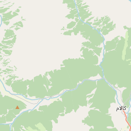
Kalam (Gawri and Urdu: کالام) is a valley located in the Swat Kohistan region of Upper Swat District in the Khyber Pakhtunkhwa province, Pakistan. It is the site where the Swat River forms as a result of the confluence of two major tributaries, the Gabral and Ushu rivers.
Read more
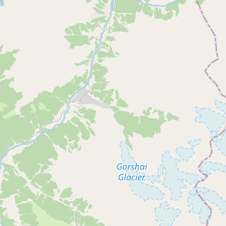
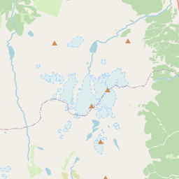
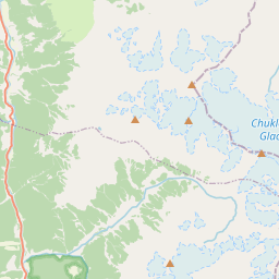
Kalam valley is predominantly inhabited by Gawri people. Located 99 kilometres (62 mi) north from Mingora and at an elevation of about 2,000 m (6,600 ft) above sea level, the valley itself provides a plateau that is located above the river and is used for farming. There are a number of visible mountains, also visible from Matiltan, a valley close to Kalam Valley, including Mount Falak Sar at 5,918 meters (19,416 feet), and another unnamed peak at 6,096 meters (20,000 feet) high. With a mild, generally warm and temperate climate, Kalam features a Humid continental climate (Dfa) under the Köppen climate classification. The average temperature in Kalam is 13.4 °C (56.1 °F), while the annual precipitation averages 639 mm (25.16 in). November is the driest month with 15 mm (0.59 in) of precipitation, while April, the wettest month, has an average precipitation of 93 mm (3.66 in). July is the hottest month of the year with an average temperature of 24.1 °C (75.4 °F). The coldest month, January, has an average temperature of 1.5 °C (34.7 °F).
On the map
Text: Wikipédia, CC BY-SA 4.0. · Image: Muhammad Akram Attari (CC BY-SA 4.0) ·