
Karoo
Extensive semi-desert region in South Africa
The Karoo ( kə-ROO-ə; likely from Khoikhoi (also known as Khoekhoegowab/Namagowab or Hottentot language) word Karo (Korana for 'hard, dry, desert')) is a semidesert natural region of South Africa. No exact definition of what constitutes the Karoo is available, so its extent is also not precisely defined.
Nº Q916997 ★★
Uncommon · Places
Karoo
Extensive semi-desert region in South Africa
The Karoo ( kə-ROO-ə; likely from Khoikhoi (also known as Khoekhoegowab/Namagowab or Hottentot language) word Karo (Korana for 'hard, dry, desert')) is a semidesert natural region of South Africa. No exact definition of what constitutes the Karoo is available, so its extent is also not precisely defined.
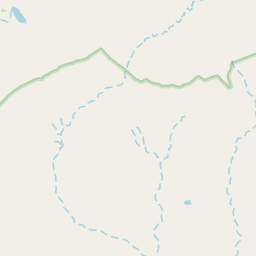
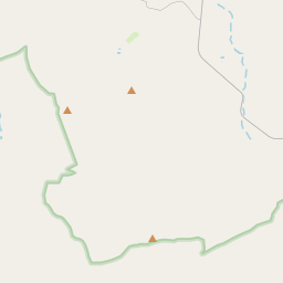
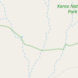
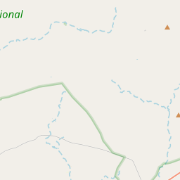
On the map
Last price
—
Floor price
—
7-day median
—
30-day sales
0
30-day range
—
In circulation
0
Price history
median
low – high
sales
No sales in this period
Show table
| Date | median | Low | High | sales |
|---|
Sales history
- Last sale
- —
- 30-day average
- —
- 30-day low
- —
- 30-day high
- —
- Sales 7d
- 0
- Sales 30d
- 0
No sales yet.
Anonymous sales: no buyer or seller shown. Figures count player-to-player sales only.
From Wikipedia
The Karoo ( kə-ROO-ə; likely from Khoikhoi (also known as Khoekhoegowab/Namagowab or Hottentot language) word Karo (Korana for 'hard, dry, desert')) is a semidesert natural region of South Africa. No exact definition of what constitutes the Karoo is available, so its extent is also not precisely defined. The Karoo is partly defined by its topography, geology and climate, and above all, its low rainfall, arid air, cloudless skies, and extremes of heat and cold. The Karoo is also known for the exposure of fossiliferous rocks of the Karoo Supergroup, which record in detail ecological changes in the region when it formed part of southern Pangaea from the Middle Permian to the Early Jurassic, around 270 to 200 million years ago. The Karoo formed an almost impenetrable barrier to the interior from Cape Town, and early adventurers, explorers, hunters, and travelers on the way to the Highveld unanimously denounced it as a frightening place of great heat, great frosts, great floods, and great droughts. Today, it is still a place of great heat and frosts, with an annual rainfall of between 50 and 250 mm (2.0–9.8 in). On some of the surrounding mountains it can be 250 to 500 mm (9.8–19.7 in) higher than on the plains. However, underground water is found throughout the Karoo, which is tapped by boreholes, making permanent settlements and sheep farming possible. The xerophytic vegetation consists of aloes, mesembryanthemums, crassulas, euphorbias, stapelias, and desert ephemerals, spaced 50 cm (20 in) or more apart, becoming very sparse going northwards into Bushmanland and, from there, into the Kalahari Desert. The driest region of the Karoo, however, is its southwestern corner, between the Great Escarpment and the Cederberg-Skurweberg mountain ranges, called the Tankwa Karoo, which receives only 75 mm (3.0 in) of rain annually. The eastern and north-eastern Karoo...
Text: Wikipédia, CC BY-SA 4.0. · Image: Winfried Bruenken (Amrum) (CC BY-SA 2.5) ·
Related cards

Southern Africa
Southernmost region of Africa
Nº Q27394 ★★★★

Namib
Desert in southern Africa
Nº Q131377 ★★★★

Hottentot (racial term)
Antiquated term for the Khoekhoe people of southern Africa
Nº Q1631241 ★★★★

Black Rock Desert
Northwest Nevada dry lake
Nº Q880529 ★★★

Algerian Desert
North-central African region
Nº Q2338833 ★★★

East Africa
Easterly region of the African continent
Nº Q27407 ★★★