

Common · Places
Kattappana
Municipal town in Idukki district, Kerala, India
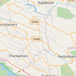
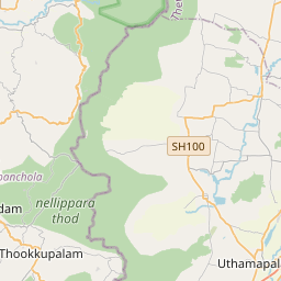
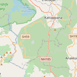
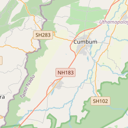
Kattappana ([kaʈ:ap:ɐna]) is a municipality in the Idukki district of Kerala, India. It is located 32 km (19.8 mi) southeast of the Idukki district headquarters in Painavu, 131 km (81.4 mi) east of major commercial city Kochi and 211 km (131.1 mi) north of the state capital, Thiruvananthapuram.
On the map
From Wikipedia
Kattappana ([kaʈ:ap:ɐna]) is a municipality in the Idukki district of Kerala, India. It is located 32 km (19.8 mi) southeast of the Idukki district headquarters in Painavu, 131 km (81.4 mi) east of major commercial city Kochi and 211 km (131.1 mi) north of the state capital, Thiruvananthapuram. Kattappana is the second largest town and one among the two municipalities in the district, and serves as a major hub for commercial and economic activity for the surrounding region. Kattappana was formed primarily by settlers from Thodupuzha, Pala, Kanjirapally, Kothamangalam, Muvattupuzha and Changanassery in the 1950s, and was given the status of gram panchayat in 1962. The town later attained the Municipality status in 2015.
Text: Wikipédia, CC BY-SA 4.0. · Image: Libni thomas (Public domain) ·


