
Kranzhorn
Mountain on the Austrian-German border
Kranzhorn is a 1,368 m (4,368 ft) mountain in Tirol, Austria and Bavaria, Germany. It lies on the western edge of the Chiemgau Alps. The German-Austrian border between Bavaria and Tyrol runs across its summit.
Nº Q1439810 ★★
Uncommon · Places
Kranzhorn
Mountain on the Austrian-German border
Kranzhorn is a 1,368 m (4,368 ft) mountain in Tirol, Austria and Bavaria, Germany. It lies on the western edge of the Chiemgau Alps. The German-Austrian border between Bavaria and Tyrol runs across its summit.
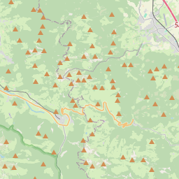
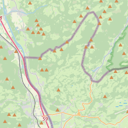
On the map
Last price
—
Floor price
—
7-day median
—
30-day sales
0
30-day range
—
In circulation
0
Price history
median
low – high
sales
No sales in this period
Show table
| Date | median | Low | High | sales |
|---|
Sales history
- Last sale
- —
- 30-day average
- —
- 30-day low
- —
- 30-day high
- —
- Sales 7d
- 0
- Sales 30d
- 0
No sales yet.
Anonymous sales: no buyer or seller shown. Figures count player-to-player sales only.
From Wikipedia
Kranzhorn is a 1,368 m (4,368 ft) mountain in Tirol, Austria and Bavaria, Germany. It lies on the western edge of the Chiemgau Alps. The German-Austrian border between Bavaria and Tyrol runs across its summit. The Kranzhorn and the opposite Wildbarren formed the Alpine gateway of the Inn Valley Glacier during the Würm glaciation. On the German side, the mountain belongs to the municipality of Nußdorf am Inn in the Rosenheim district, and on the Austrian side, to the municipality of Erl in the Kufstein district. Since 1504, the Bavarian-Austrian border has run through the center of the summit plateau. The border was finally established in 1670, and some of the boundary stones can still be found next to the hiking trails. The summit of the mountain therefore bears two summit crosses and is visible from far across the Inn Valley. From the summit, there are good views of Wendelstein to the west and the Kaiser Mountains to the south. Along with the Hochries and the Heuberg, Kranzhorn is one of the most popular destinations for hikers in the Chiemgau Alps. The shortest and most frequently used ascent is from the Erlerberg via the Bubenau and the Kranzhornalm. Other marked hiking trails lead from Erl over the steep Erlersteig and from Windshausen to the summit.
Text: Wikipédia, CC BY-SA 4.0. · Image: Rufus46 (CC BY-SA 3.0) ·
Related cards
-

Vernagtferner
Glacier in the Ötztal Alps in Tyrol
Nº Q2517250 ★★
Not listed
-

Schneefernerkopf
Mountain of the Wetterstein at the border Bavaria, Germany, and Tyrol, Austria
Nº Q679080 ★★
Not listed
-

Sonntagshorn
Mountain in the Chiemgau Alps at the border Salzburg / Bavaria
Nº Q454128 ★★★
Not listed
-

Fellhorn
Mountain of the Allgäu Alps at the border of Bavaria, Germany, and Vorarlberg, Austria
Nº Q554414 ★★★
Not listed
-

Wetterstein
Mountain range of the Alps in Bavaria, Germany, and Tyrol, Austria
Nº Q264223 ★★★★
Not listed
-

Mieming Plateau
Plateau in Austria
Nº Q874988 ★★
Not listed