
Kysuce
Traditional region of Slovakia
Kysuce is a traditional informal name of a region in north-western Slovakia, situated around the Kysuca river and bordering the Orava region in the east, Poland in the north and the Czech Republic in the west. It consists of two districts: Čadca and Kysucké Nové Mesto.
Nº Q1776264 ★★
Uncommon · Places
Kysuce
Traditional region of Slovakia
Kysuce is a traditional informal name of a region in north-western Slovakia, situated around the Kysuca river and bordering the Orava region in the east, Poland in the north and the Czech Republic in the west. It consists of two districts: Čadca and Kysucké Nové Mesto.
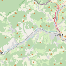
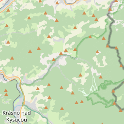
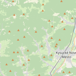
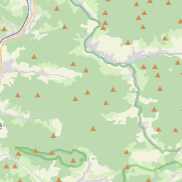
On the map
Last price
—
Floor price
—
7-day median
—
30-day sales
0
30-day range
—
In circulation
0
Price history
median
low – high
sales
No sales in this period
Show table
| Date | median | Low | High | sales |
|---|
Sales history
- Last sale
- —
- 30-day average
- —
- 30-day low
- —
- 30-day high
- —
- Sales 7d
- 0
- Sales 30d
- 0
No sales yet.
Anonymous sales: no buyer or seller shown. Figures count player-to-player sales only.
From Wikipedia
Kysuce is a traditional informal name of a region in north-western Slovakia, situated around the Kysuca river and bordering the Orava region in the east, Poland in the north and the Czech Republic in the west. It consists of two districts: Čadca and Kysucké Nové Mesto. The northern part is called the Čadecké region and is part of the Goral Lands. The region is surrounded by the numerous mountain ranges, for example Javorníky with the highest hill Veľký Javorník (1,071 m) in the west, the Moravian-Silesian Beskids with the highest hill Veľký Polom (1,067 m) in the north. In the East there are Kysucké Beskydy with the highest mountain (also the highest in the region) – Veľká Rača (1,236 m) – the symbol of Kysuce. In the South there is Kysucká vrchovina with the highest hill – Ľadonhora (999 m). The oldest known settlement in Kysuce is the city Kysucké Nové Mesto, which is located on an important trade route through the region. The route connects north with south; it goes from Žilina through Jablunkovský priesmyk, to Tešín.
Text: Wikipédia, CC BY-SA 4.0. · Image: Juloml (CC BY-SA 3.0) ·
Related cards
-

Maple Mountains
Mountain range
Nº Q1387301 ★★
Not listed
-

Čadca District
District of Slovakia
Nº Q836173 ★★★
Not listed
-

Mały Szyszak
Mountain shared by Poland and Czech Republic
Nº Q3488936 ★★
Not listed
-

Sudeten Foreland
Region in Poland and the Czech Republic
Nº Q11828299 ★★★
Not listed
-

Oderské vrchy
Mountain range, Olomouc Region, Czech Republic
Nº Q1479012 ★
Not listed
-

Javorník (Jeseník District)
Municipality in the Czech Republic
Nº Q1025158 ★
Not listed