

Common · Places
L'Albenc
Commune in Isère, France
L'Albenc (French pronunciation: [lalbɛ̃k]) is a commune in the Isère department in the Auvergne-Rhône-Alpes region of southeastern France.
Read more
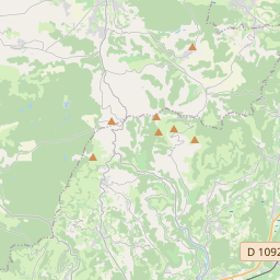
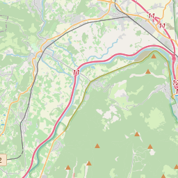
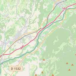
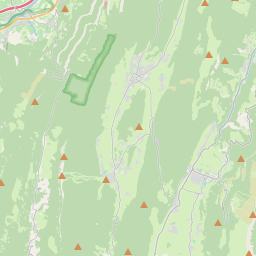
The commune lies in a straight line some 25 kilometres west by north-west of Grenoble, 20 kilometres south-west of Voiron and 40 kilometres northeast of Romans-sur-Isere in the lower Gresivaudan valley. The highest point of the commune is at 437 metres overlooking the hamlets of Chapuisière and Pierre Brun. The lowest point is on the banks of the Isère at 170 metres. The main peaks in the commune are the Malan (373 metres) just south of the town, Mount Larron (384 metres), and the Côte Belle peaking at 437 metres. The commune lies on the opposite side of the mountains from Grenoble so can not be reached directly from there. The A49 autoroute from Saint-Quentin-sur-Isère in the north-east passes south-west through the eastern part of the commune and continues towards Romans-sur-Isère in the south-west. There is however no exit to the commune from this autoroute and access is by road D1092 from Vinay in the south-west passing north-east through the town and continuing north by north-east to Tullins. The D35 road also goes from the village south-east over a tortuous mountain route eventually joining the D531 road in the south. There are many small roads covering the whole commune which is mixed forest with some farmland.
On the map
Text: Wikipédia, CC BY-SA 4.0. · Image: Aups (CC BY-SA 3.0) ·