
Laholm Bay
Geographical feature in southern Sweden
Laholm Bay (Swedish: Laholmsbukten) is a bay of the Kattegat, between Tylösand in the north and Hovs Hallar in the south. The Bjäre Peninsula, which forms its southern edge, separates it from Skälder Bay. The border between Halland and Skåne counties reaches the bay between Båstad and Hemmeslövstrand.
Nº Q4993120 ★★★
Rare · Places
Laholm Bay
Geographical feature in southern Sweden
Laholm Bay (Swedish: Laholmsbukten) is a bay of the Kattegat, between Tylösand in the north and Hovs Hallar in the south. The Bjäre Peninsula, which forms its southern edge, separates it from Skälder Bay. The border between Halland and Skåne counties reaches the bay between Båstad and Hemmeslövstrand.
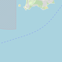
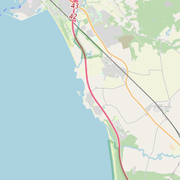
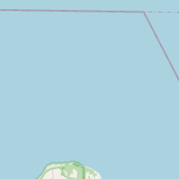
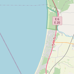
On the map
Last price
—
Floor price
—
7-day median
—
30-day sales
0
30-day range
—
In circulation
0
Price history
median
low – high
sales
No sales in this period
Show table
| Date | median | Low | High | sales |
|---|
Sales history
- Last sale
- —
- 30-day average
- —
- 30-day low
- —
- 30-day high
- —
- Sales 7d
- 0
- Sales 30d
- 0
No sales yet.
Anonymous sales: no buyer or seller shown. Figures count player-to-player sales only.
From Wikipedia
Laholm Bay (Swedish: Laholmsbukten) is a bay of the Kattegat, between Tylösand in the north and Hovs Hallar in the south. The Bjäre Peninsula, which forms its southern edge, separates it from Skälder Bay. The border between Halland and Skåne counties reaches the bay between Båstad and Hemmeslövstrand. The bay is shallow with an average depth of about 20 metres (66 ft) and a shoreline of about 50 kilometres (31 mi). Mighty dunes separate the beach from the rest of the coastal area. In the greater part of the bay, the bottom consists of sand and clay, with depths of 14.5 to 18 metres (48 to 59 ft). But a wide strip of rocky bottom, with depths of 12 to 18 metres (39 to 59 ft), extends south-southwestward from the northeastern part of the bay to Hovs Hallar. Along Laholm Bay are several seaside resorts: Båstad, Hemmeslövsstrand, Eskilstorpsstrand, Skummeslövsstrand, and Mellbystrand, among others. The bay, on the other hand, is named after the Town of Laholm, located about 5 kilometres (3.1 mi) inland. The long sandy beach was used in the past as a country road, with bus traffic to Båstad already in the 1930s. Laholm Bay suffers from eutrophication and related algal blooms. Since the 1970s, oxygen deficiency has been observed in groundwater. The cause of the environmental issues is thought to be too much nutrients (mainly nitrogen from agriculture, forests, and rivers) in relation to the shallow water depth. As of 2005, measures to reduce the supply of nitrogen have not yielded satisfactory results.
Text: Wikipédia, CC BY-SA 4.0. · Image: Janders (Public domain) ·
Related cards

Skälder Bay
Bay in Sweden
Nº Q2208706 ★★★★

Laholm Bay Beach
Beach in Sweden
Nº Q6470375 ★★★

Bay of Wismar
Bay
Nº Q531060 ★★★

Bay of Lübeck
Bay
Nº Q700309 ★★★

Kristianstad Basin
Structural basin and geographical formation in Skåne, Sweden
Nº Q28492386 ★★★

Lindholmen Castle
Building in Svedala Municipality, Skåne County, Sweden
Nº Q2969726 ★★★