
Lake Pontchartrain
Estuary located in southeastern Louisiana, United States
Lake Pontchartrain ( PON-chə-trayn; French: Lac Pontchartrain, pronounced [lak pɔ̃ʃaʁtrɛ̃] ) is an estuary in southeastern Louisiana in the United States. It covers 630 square miles (1,600 km2) with an average depth of 12 to 14 feet (3.7 to 4.3 m). Some shipping channels are kept deeper through dredging.
Nº Q1331750 ★★★
Rare · Places
Lake Pontchartrain
Estuary located in southeastern Louisiana, United States
Lake Pontchartrain ( PON-chə-trayn; French: Lac Pontchartrain, pronounced [lak pɔ̃ʃaʁtrɛ̃] ) is an estuary in southeastern Louisiana in the United States. It covers 630 square miles (1,600 km2) with an average depth of 12 to 14 feet (3.7 to 4.3 m). Some shipping channels are kept deeper through dredging.
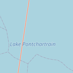
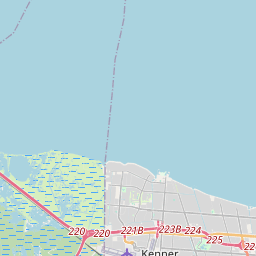
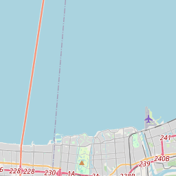
On the map
Last price
—
Floor price
—
7-day median
—
30-day sales
0
30-day range
—
In circulation
0
Price history
median
low – high
sales
No sales in this period
Show table
| Date | median | Low | High | sales |
|---|
Sales history
- Last sale
- —
- 30-day average
- —
- 30-day low
- —
- 30-day high
- —
- Sales 7d
- 0
- Sales 30d
- 0
No sales yet.
Anonymous sales: no buyer or seller shown. Figures count player-to-player sales only.
From Wikipedia
Lake Pontchartrain ( PON-chə-trayn; French: Lac Pontchartrain, pronounced [lak pɔ̃ʃaʁtrɛ̃] ) is an estuary in southeastern Louisiana in the United States. It covers 630 square miles (1,600 km2) with an average depth of 12 to 14 feet (3.7 to 4.3 m). Some shipping channels are kept deeper through dredging. It is roughly oval, about 40 miles (64 km) from west to east and 24 miles (39 km) from south to north. As an estuary, its "Lake" title is a misnomer, but only a slight one, as its passage to the open sea is narrow. The lake was named in 1699 by the French explorer Pierre Le Moyne d'Iberville for Louis Phélypeaux, comte de Pontchartrain, a minister under Louis XIV. It connects to the Gulf of Mexico through the Rigolets strait and Chef Menteur Pass by way of Lake Borgne, and receives fresh water from several rivers and bayous, giving it brackish water and only small tidal changes. Lake Pontchartrain is one of the largest wetland systems along the Gulf Coast of North America and forms the core of the wider Pontchartrain Basin, a watershed that spans 16 Louisiana parishes and four Mississippi counties. The estuary is located in parts of six Louisiana parishes; in descending order of area, they are St. Tammany, Orleans, Jefferson, St. John the Baptist, St. Charles, and Tangipahoa. The water boundaries were defined in 1979 (see list of parishes in Louisiana). The lake forms the northern boundary of New Orleans and its suburbs, and a portage between the lake and the Mississippi River was central to the city's founding in 1718. During hurricanes, a storm surge driven into the lake can overwhelm the levees protecting New Orleans, most catastrophically during Hurricane Katrina in 2005, when levee and floodwall failures along the lakefront flooded most of the...
Text: Wikipédia, CC BY-SA 4.0. · Image: Mersh13 (CC BY-SA 3.0) ·
Related cards

Lake Peigneur
Lake in Iberia Parish, Louisiana, USA
Nº Q1544731 ★★★

Louisiana (New France)
District of New France
Nº Q658054 ★★★★

Biscayne Bay
Lagoon located on the Atlantic coast of South Florida, United States
Nº Q954659 ★★

Lake Claiborne
Lake of the United States of America
Nº Q6475393 ★★

Lac d'Hourtin-Carcans
Lake in Gironde, New Aquitaine, France
Nº Q1535929 ★★★★

Louisiana Purchase
1803 acquisition by the U.S. of France's claim to the territory of Louisiana
Nº Q193155 ★★★★