

Uncommon · Places
Ledo Road
Road in Myanmar
The Ledo Road (Burmese: လီဒိုလမ်းမ) was an overland connection between British India and China, built during World War II to enable the Western Allies to deliver supplies to China and aid the war effort against Japan. After the Japanese cut off the Burma Road in 1942 an alternative was required, hence the construction of the Ledo Road.
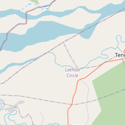
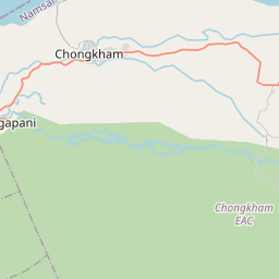
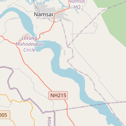
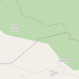
On the map
From Wikipedia
The Ledo Road (Burmese: လီဒိုလမ်းမ) was an overland connection between British India and China, built during World War II to enable the Western Allies to deliver supplies to China and aid the war effort against Japan. After the Japanese cut off the Burma Road in 1942 an alternative was required, hence the construction of the Ledo Road. It was renamed the Stilwell Road, after General Joseph Stilwell of the U.S. Army, in early 1945 at the suggestion of Chiang Kai-shek. It passes through the Burmese towns of Shingbwiyang, Myitkyina and Bhamo in Kachin state. Of the 1,726 kilometres (1,072 mi) long road, 1,033 kilometres (642 mi) are in Burma and 632 kilometres (393 mi) in China with the remaining 61 kilometres (38 mi) in India. The road had the Ledo-Pangsau Pass-Tanai (Danai)-Myitkyina--Bhamo-Mansi-Namhkam-Kunming route. To transport supplies from the railheads to army fronts, three all-weather roads were constructed in record time during the autumn of 1943: the Ledo Road in the north, spanning three countries and connecting to the Burma Road to supply China; the Central Front road within India, from Dimapur to Imphal, which was critical to the campaign; and the southern road from Dohazari, south of Chittagong in British India, supporting the advance of troops to Arakan in Myanmar. In the 19th century, British railway builders had surveyed the Pangsau Pass, which is 1,136 metres (3,727 feet) high on the India-Burma border, on the Patkai crest, above Nampong, Arunachal Pradesh and Ledo, Tinsukia (part of Assam). They concluded that a track could be pushed through to Burma and down the Hukawng Valley. Although the proposal was dropped, the British prospected the Patkai Range for a road from Assam into northern Burma. British engineers had surveyed the route for a road for the first 130 kilometres (80 miles). After the...
Text: Wikipédia, CC BY-SA 4.0. · Image: The Department of History, United States Military Academy (Public domain) ·
Related cards
-
 ★★★
★★★
Joseph Stilwell
United States Army general (1883–1946)
-
 ★★
★★
Burma Road
Road in Myanmar
-
 ★
★
Battle of the Yunnan–Burma Road
1942 battle of World Ward II
-
 ★
★
Jiangxinpo
Qing-ruled area in modern Myanmar
-
 ★
★
Mig La
Mountain pass in Ladakh, India
-
 ★★
★★
Japanese invasion of Burma
Military operation during World War Two