
Lika
Geographic and historical region of Croatia
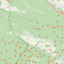
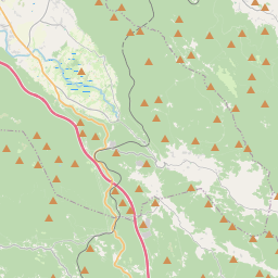
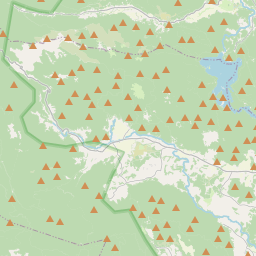
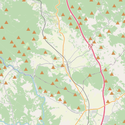
Lika (pronounced [lǐːka]) is a traditional region of Croatia proper, roughly bound by the Velebit mountain from the southwest and the Plješevica mountain from the northeast. On the north-west end Lika is bounded by Ogulin-Plaški basin, and on the south-east by the Malovan pass.
Nº Q142894 ★★★
Rare · Places
Lika
Geographic and historical region of Croatia
Lika (pronounced [lǐːka]) is a traditional region of Croatia proper, roughly bound by the Velebit mountain from the southwest and the Plješevica mountain from the northeast. On the north-west end Lika is bounded by Ogulin-Plaški basin, and on the south-east by the Malovan pass.
On the map
Last price
—
Floor price
—
7-day median
—
30-day sales
0
30-day range
—
In circulation
0
Price history
median
low – high
sales
No sales in this period
Show table
| Date | median | Low | High | sales |
|---|
Sales history
- Last sale
- —
- 30-day average
- —
- 30-day low
- —
- 30-day high
- —
- Sales 7d
- 0
- Sales 30d
- 0
No sales yet.
Anonymous sales: no buyer or seller shown. Figures count player-to-player sales only.
From Wikipedia
Lika (pronounced [lǐːka]) is a traditional region of Croatia proper, roughly bound by the Velebit mountain from the southwest and the Plješevica mountain from the northeast. On the north-west end Lika is bounded by Ogulin-Plaški basin, and on the south-east by the Malovan pass. Today most of the territory of Lika (Brinje, Donji Lapac, Gospić, Lovinac, Otočac, Perušić, Plitvička Jezera, Udbina and Vrhovine) is part of Lika-Senj County. Josipdol, Plaški and Saborsko are part of Karlovac County and Gračac is part of Zadar County, and it takes up about 12% of Croatia's land area. Major towns include Gospić, Otočac, and Gračac, most of which are located in the karst poljes of the rivers of Lika, Gacka and others. The Plitvice Lakes National Park and Northern Velebit National Park are also in Lika.
Text: Wikipédia, CC BY-SA 4.0. · Image: Wikimedia Commons (CC BY-SA 3.0) ·


