
Limes Germanicus
Fortifications of ancient Roman provinces
The Limes Germanicus (Latin for Germanic frontier), or 'Germanic Limes', is the name given in modern times to a line of frontier (limes) fortifications that bounded the ancient Roman provinces of Germania Inferior, Germania Superior and Raetia, separating the Roman Empire and the unsubdued Germanic tribes from about 83 AD to 260 AD. The frontier used either a natural boundary such as a river or typically an earth bank and ditch with a wooden palisade and watchtowers at intervals, and a system of linked forts was built behind them.
Nº Q707801 ★★
Uncommon · Places
Limes Germanicus
Fortifications of ancient Roman provinces
The Limes Germanicus (Latin for Germanic frontier), or 'Germanic Limes', is the name given in modern times to a line of frontier (limes) fortifications that bounded the ancient Roman provinces of Germania Inferior, Germania Superior and Raetia, separating the Roman Empire and the unsubdued Germanic tribes from about 83 AD to 260 AD. The frontier used either a natural boundary such as a river or typically an earth bank and ditch with a wooden palisade and watchtowers at intervals, and a system of linked forts was built behind them.
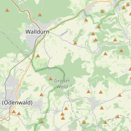
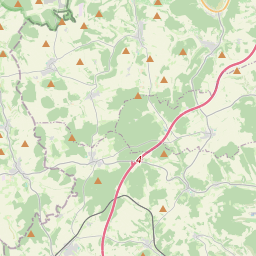
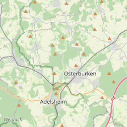
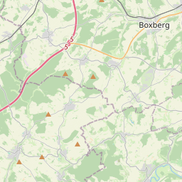
On the map
Last price
—
Floor price
—
7-day median
—
30-day sales
0
30-day range
—
In circulation
0
Price history
median
low – high
sales
No sales in this period
Show table
| Date | median | Low | High | sales |
|---|
Sales history
- Last sale
- —
- 30-day average
- —
- 30-day low
- —
- 30-day high
- —
- Sales 7d
- 0
- Sales 30d
- 0
No sales yet.
Anonymous sales: no buyer or seller shown. Figures count player-to-player sales only.
From Wikipedia
The Limes Germanicus (Latin for Germanic frontier), or 'Germanic Limes', is the name given in modern times to a line of frontier (limes) fortifications that bounded the ancient Roman provinces of Germania Inferior, Germania Superior and Raetia, separating the Roman Empire and the unsubdued Germanic tribes from about 83 AD to 260 AD. The frontier used either a natural boundary such as a river or typically an earth bank and ditch with a wooden palisade and watchtowers at intervals, and a system of linked forts was built behind them. The path of the limes changed over time following advances and retreats in response to external threats. At its height, the Limes Germanicus stretched from the North Sea outlet of the Rhine to near Regensburg (Castra Regina) on the Danube. These two major rivers afforded natural protection from mass incursions into imperial territory, with the exception of a gap stretching roughly from Mogontiacum (now Mainz) on the Rhine to Castra Regina. The Limes Germanicus was divided into: The Lower Germanic Limes, which extended from the North Sea at Katwijk in the Netherlands along the then main Lower Rhine branches (modern Oude Rijn, Leidse Rijn, Kromme Rijn, Nederrijn) The Upper Germanic Limes started from the Rhine at Rheinbrohl (Neuwied (district)) across the Taunus mountains to the river Main (East of Hanau), then along the Main to Miltenberg, and from Osterburken (Neckar-Odenwald-Kreis) south to Lorch (in Ostalbkreis, Württemberg) in a nearly perfect straight line of more than 70 km; The Rhaetian Limes extended east from Lorch to Eining (close to Kelheim) on the Danube. The total length was 568 km (353 mi). It included at least 60 forts and 900 watchtowers. The potentially weakest, hence most heavily guarded, part of the Limes was the aforementioned gap between the westward bend of the Rhine...
Text: Wikipédia, CC BY-SA 4.0. · Image: Thioneb (Public domain) ·
Related cards
-

Lower Germanic Limes
UNESCO World Heritage Site in Germany, Netherlands
Nº Q1265889 ★★★
Not listed
-

Limesfall
Nº Q1825439 ★★
Not listed
-
A
Alb Limes
Roman frontier fortification or limes of the late 1st century AD in the Swabian Jura
Nº Q2639695 ★★★
Not listed
-

Upper Germanic-Rhaetian Limes
Portion of the Roman limes in Germany
Nº Q17374397 ★★★
Not listed
-

Germania Antiqua
Short-lived Roman province (7 BCE – 9 CE)
Nº Q1980265 ★★
Not listed
-

Danube–Iller–Rhine Limes
Roman Defensive Fortifications
Nº Q1240786 ★★
Not listed