
Limpopo River
River in southern Africa
The Limpopo River () rises in South Africa and flows generally eastward through Mozambique to the Indian Ocean. The river is approximately 1,750 km (1,090 mi) long, with a drainage basin of 415,000 km2 (160,000 mi2) in size.
Nº Q173017 ★★★
Rare · Places
Limpopo River
River in southern Africa
The Limpopo River () rises in South Africa and flows generally eastward through Mozambique to the Indian Ocean. The river is approximately 1,750 km (1,090 mi) long, with a drainage basin of 415,000 km2 (160,000 mi2) in size.
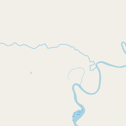
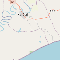
On the map
Last price
—
Floor price
—
7-day median
—
30-day sales
0
30-day range
—
In circulation
0
Price history
median
low – high
sales
No sales in this period
Show table
| Date | median | Low | High | sales |
|---|
Sales history
- Last sale
- —
- 30-day average
- —
- 30-day low
- —
- 30-day high
- —
- Sales 7d
- 0
- Sales 30d
- 0
No sales yet.
Anonymous sales: no buyer or seller shown. Figures count player-to-player sales only.
From Wikipedia
The Limpopo River () rises in South Africa and flows generally eastward through Mozambique to the Indian Ocean. The river is approximately 1,750 km (1,090 mi) long, with a drainage basin of 415,000 km2 (160,000 mi2) in size. The mean discharge measured over a year is 170 m3/s (6,000 cu ft/s) to 313 m3/s (11,100 cu ft/s) at its mouth. The Limpopo is the second largest African river that drains to the Indian Ocean, after the Zambezi. The first European to sight the river was Vasco da Gama, who anchored off its mouth in 1498 and named it Rio do Espírito Santo (lit. 'River of the Holy Spirit'). Its lower course was explored by St Vincent Whitshed Erskine in 1868–69, and Captain J F Elton travelled down its middle course in 1870. The river has been called the Vhembe by local Venda communities of the area where now that name has been adopted by the South African government as its District Municipality in the north. The drainage area of the Limpopo has decreased over geological time. Up to Late Pliocene or Pleistocene times, the upper course of the Zambezi River drained into the Limpopo River. The change of the drainage divide is the result of epeirogenic movement that uplifted the surface north of present-day Limpopo River, diverting waters into Zambezi River.
Text: Wikipédia, CC BY-SA 4.0. · Image: Department of Defense. American Forces Information Service.... (Public domain) ·
Related cards

Mpumalanga
Province of South Africa
Nº Q132410 ★★

Mozambique Channel
Arm of the Indian Ocean located between the Southeast African countries of Madagascar and Mozambique
Nº Q165100 ★★★

Limbo
Catholic viewpoint concerning the afterlife condition
Nº Q270710 ★★★★

Adige
River in northern Italy
Nº Q13696 ★★★★★

Glomma
River in Norway
Nº Q214535 ★★★

Liquidambar
Genus of plants
Nº Q183543 ★★★★