

Uncommon · Places
Linthal, Glarus
Village in the municipality Glarus Süd in the canton of Glarus, Switzerland
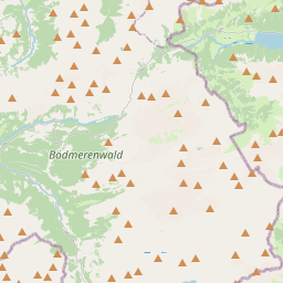
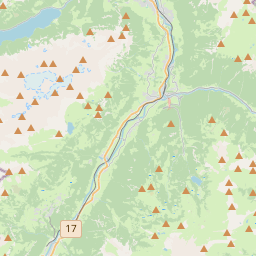
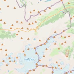
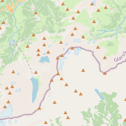
Linthal is a village and former municipality in the municipality of Glarus Süd and canton of Glarus in Switzerland. The village lies near the head of the valley of the Linth river, and at the foot of the Klausen Pass into the canton of Uri. It is the terminus of the railway line that traverses the length of Glarus.
On the map
From Wikipedia
Linthal is a village and former municipality in the municipality of Glarus Süd and canton of Glarus in Switzerland. The village lies near the head of the valley of the Linth river, and at the foot of the Klausen Pass into the canton of Uri. It is the terminus of the railway line that traverses the length of Glarus. Linthal is first mentioned in 1289 as Lintal. In 1879, Linthal was connected to the Swiss railway network by the opening of the Swiss Northeastern Railway line from Weesen. The road over the Klausen Pass was built between 1895 and 1900. Construction of the Linth–Limmern hydro-electric power scheme, in the mountains above Linthal, commenced in 1957, and was fully operational by 1968. In 2011, the municipality of Linthal was merged into the new municipality of Glarus Süd. The village Linthal lies at the head of the valley of the Linth river, at an altitude of approximately 650 m (2,130 ft). It is surrounded by mountains, including Ortstock (2,717 m or 8,914 ft), Clariden (3,267 m or 10,719 ft), Tödi (3,614 m or 11,857 ft), Bifertenstock (3,419 m or 11,217 ft), Selbsanft (3,029 m or 9,938 ft), Ruchi (3,107 m or 10,194 ft), Hausstock (3,158 m or 10,361 ft) and Kärpf (2,794 m or 9,167 ft).
Text: Wikipédia, CC BY-SA 4.0. · Image: Roland Zumbühl (Picswiss), Arlesheim (Commons:Picswiss proje... (CC BY-SA 3.0) ·