
Loch Lomond
Freshwater lake in Scotland, UK
Loch Lomond ( ; Scottish Gaelic: Loch Laomainn) is a freshwater Scottish loch that spans the Highland Boundary Fault, often considered the boundary between the Lowlands and Highlands of Scotland. Traditionally forming part of the boundary between the counties of Stirlingshire and Dunbartonshire, it is today split between the council areas of Stirling, Argyll and Bute and West Dunbartonshire.
Nº Q208926 ★★★
Rare · Places
Loch Lomond
Freshwater lake in Scotland, UK
Loch Lomond ( ; Scottish Gaelic: Loch Laomainn) is a freshwater Scottish loch that spans the Highland Boundary Fault, often considered the boundary between the Lowlands and Highlands of Scotland. Traditionally forming part of the boundary between the counties of Stirlingshire and Dunbartonshire, it is today split between the council areas of Stirling, Argyll and Bute and West Dunbartonshire.
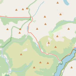
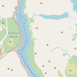
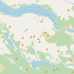
On the map


Last price
—
Floor price
—
7-day median
—
30-day sales
0
30-day range
—
In circulation
0
Price history
median
low – high
sales
No sales in this period
Show table
| Date | median | Low | High | sales |
|---|
Sales history
- Last sale
- —
- 30-day average
- —
- 30-day low
- —
- 30-day high
- —
- Sales 7d
- 0
- Sales 30d
- 0
No sales yet.
Anonymous sales: no buyer or seller shown. Figures count player-to-player sales only.
From Wikipedia
Loch Lomond ( ; Scottish Gaelic: Loch Laomainn) is a freshwater Scottish loch that spans the Highland Boundary Fault, often considered the boundary between the Lowlands and Highlands of Scotland. Traditionally forming part of the boundary between the counties of Stirlingshire and Dunbartonshire, it is today split between the council areas of Stirling, Argyll and Bute and West Dunbartonshire. Its southern shores are about 23 kilometres (14 mi) northwest of the centre of Glasgow, Scotland's largest city. The loch forms part of Loch Lomond and The Trossachs National Park, which was established in 2002. From a limnological perspective, Loch Lomond is classified as a dimictic lake, typically undergoing two mixing periods each year. This occurs in the spring and autumn when the water column becomes uniformly mixed due to temperature-driven density changes Loch Lomond is 36.4 kilometres (22.6 mi) long and between one and eight kilometres (1⁄2–5 miles) wide, with a surface area of 71 km2 (27.5 mi2). It is the largest lake in Great Britain by surface area; in the United Kingdom, it is surpassed only by Lough Neagh and Lough Erne in Northern Ireland. The loch has a maximum depth of about 190 metres (620 ft) in the deeper northern portion, although the southern part of the loch rarely exceeds 30 metres (98 ft) in depth. The total volume of Loch Lomond is 2.6 km3 (0.62 cu mi), making it the second largest lake in Great Britain, after Loch Ness, by water volume. Due to its considerable depth and latitudinal location, Loch Lomond exhibits thermal stratification during the summer months, with a distinct epilimnion, metalimnion, and hypolimnion forming in deeper areas. These stratification patterns have important implications for nutrient cycling and aquatic ecology within the loch. During periods of stratification, a decrease in hypolimnetic oxygen can occur in...
Text: Wikipédia, CC BY-SA 4.0. · Image: Abubakr Hussain, Mohammed-Hayat Ashrafi, Maaz Farooq, Farmaa... (CC BY-SA 2.5) ·
Related cards

The Bonnie Banks o' Loch Lomond
Scottish folk song
Nº Q1399934 ★★★

Holy Loch
Sea loch in Argyll and Bute, Scotland, UK
Nº Q1625344 ★

Lothian
Former local government region of Scotland
Nº Q642024 ★★

Highland (council area)
Council area in the Scottish Highlands
Nº Q208279 ★★★

Perth and Kinross
Council area of Scotland, United Kingdom
Nº Q207679 ★★

Dunoon
Town on the Cowal peninsula in the south of Argyll and Bute, Scotland, UK
Nº Q1020251 ★★