

Common · Places
Lommiswil
Municipality in the canton of Solothurn in Switzerland
Lommiswil is a municipality in the district of Lebern in the canton of Solothurn in Switzerland.
Read more
Lommiswil is first mentioned in 1292 as Lomolzwile. Lommiswil has an area, as of 2009, of 5.78 square kilometers (2.23 sq mi). Of this area, 2.54 km (0.98 sq mi) or 43.9% is used for agricultural purposes, while 2.48 km (0.96 sq mi) or 42.9% is forested. Of the rest of the land, 0.74 km (0.29 sq mi) or 12.8% is settled (buildings or roads). Of the built up area, housing and buildings made up 8.1% and transportation infrastructure made up 3.3%. Power and water infrastructure as well as other special developed areas made up 1.2% of the area Out of the forested land, all of the forested land area is covered with heavy forests. Of the agricultural land, 35.3% is used for growing crops and 7.4% is pastures, while 1.2% is used for orchards or vine crops. The municipality is located in the Lebern district, on a plateau in the southern foothills of the Jura Mountains. It consists of the village of Lommiswil and the settlement of Im Holz.
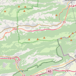
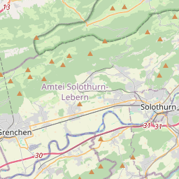
On the map
Text: Wikipédia, CC BY-SA 4.0. · Image: Gestumblindi (CC BY-SA 3.0) ·