

Common · Places
Loudervielle
Commune in Hautes-Pyrénées, France
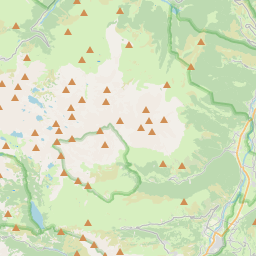
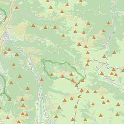
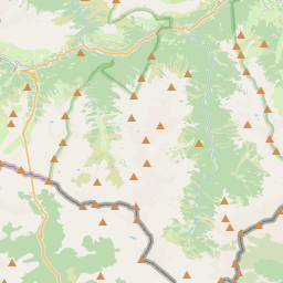
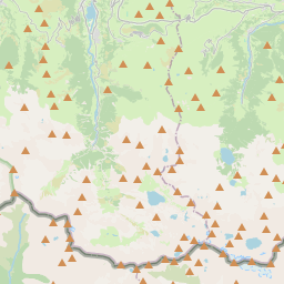
Loudervielle (French pronunciation: [ludɛʁvjɛl]; Occitan: Lodervièla) is a commune in the Hautes-Pyrénées department in south-western France. Loudervielle sits in the Bigorre region, in the valley of the river Louron. The west side of the mountain pass Col de Peyresourde lies on the eastern edge of the commune.
On the map
From Wikipedia
Loudervielle (French pronunciation: [ludɛʁvjɛl]; Occitan: Lodervièla) is a commune in the Hautes-Pyrénées department in south-western France. Loudervielle sits in the Bigorre region, in the valley of the river Louron. The west side of the mountain pass Col de Peyresourde lies on the eastern edge of the commune. The village's original Latin name, found in the church register of Comminges, was De Lodirvilla, and the name in Occitan is Lodervièla. The village arms are described as azure, a lion or, a chief argent with three crescents of the field, the largest in the middle. Loudervielle has an oceanic climate (Köppen climate classification Cfb). The average annual temperature in Loudervielle is 8.4 °C (47.1 °F). The average annual rainfall is 1,122.3 mm (44.19 in) with November as the wettest month. The temperatures are highest on average in July, at around 16.1 °C (61.0 °F), and lowest in February, at around 1.6 °C (34.9 °F). The highest temperature ever recorded in Loudervielle was 32.5 °C (90.5 °F) on 18 August 2012; the coldest temperature ever recorded was −17.1 °C (1.2 °F) on 1 March 2005.
Text: Wikipédia, CC BY-SA 4.0. · Image: Père Igor (CC BY-SA 3.0) ·