

Common · Places
Lualaba River
River in the eastern Democratic Republic of Congo
The Lualaba River (French: Rivière Lualaba, Kongo: Nzâdi Luâlâmba, Swahili: Mto Lualamba) is a river within the Congo River watershed that flows entirely within the eastern part of Democratic Republic of the Congo. Although the Chambeshi River is recognized as the source of the Congo, the Lualaba provides the greatest streamflow to the Congo.
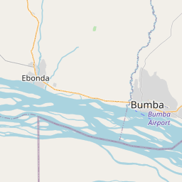
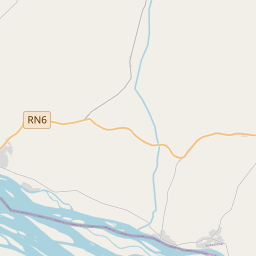
On the map
From Wikipedia
The Lualaba River (French: Rivière Lualaba, Kongo: Nzâdi Luâlâmba, Swahili: Mto Lualamba) is a river within the Congo River watershed that flows entirely within the eastern part of Democratic Republic of the Congo. Although the Chambeshi River is recognized as the source of the Congo, the Lualaba provides the greatest streamflow to the Congo. The Lualaba is 1,800 kilometres (1,100 mi) long. Its headwaters are in the country's far southeastern corner near Musofi and Lubumbashi in Katanga Province, next to the Zambian Copperbelt. The source of the Lualaba River is on the Katanga plateau, at an elevation of 1,400 metres (4,600 ft) above sea level. The river flows northward to end near Kisangani, where the name Congo River officially begins. From the Katanga plateau it drops, with waterfalls and rapids marking the descent, to the Manika plateau. As it descends through the upper Upemba Depression (Kamalondo Trough), 457 metres (1,499 ft) in 72 kilometres (45 mi). Near Nzilo Falls it is dammed for hydroelectric power at the Nzilo Dam. At Bukama in Haut-Lomami District the river becomes navigable for about 640 kilometres (400 mi) through a series of marshy lakes in the lower Upemba Depression, including Lake Upemba and Lake Kisale.
Text: Wikipédia, CC BY-SA 4.0. · Image: Kwamikagami (CC BY-SA 3.0) ·