

Rare · Places
Macul
Commune of Chile
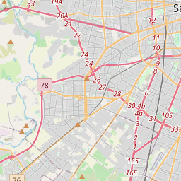
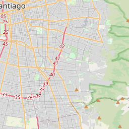
Macul (Quechua: "to stretch out right hand") is a commune of Chile located in the central-eastern part of the Greater Santiago area, bordered by the communes of Ñuñoa to the north, San Joaquín to the west, Peñalolén to the east and La Florida to the south. It is predominantly a residential and industrial zone, although its activities have been diversifying in recent times, which has necessitated improvements in infrastructure and connectivity with the rest of the city.
Read more
The commune is considered a middle class area of Santiago. Macul was one of five indigenous villages located in the region of Ñuñohue prior to the arrival of the Spaniards. Its economy was heavily based on agriculture due to the fertile soil in the area. By the seventeenth century, the Ñuñoa area kept its agricultural character, however the development of a road system that had strengthened its ties with the city of Santiago began. During the nineteenth century there were a number of changes and developments that modified the purely rural character of Ñuñoa and Macul, some of the more prevalent changes were the construction of railways, housing developments and the enactment of the Autonomous Commune Law. Since 1930, Ñuñoa has been strengthening its residential character, and due to its very accessible infrastructure for transportation and communications with the rest of the city, it has now developed as a largely industrialized settlement, with a good number of factories making their home in Ñuñoa. Beginning in 1960, the territory of Macul seizes to be an urban expansion area to the city of Santiago, reaching critical mass and the maximum for developing land as an urban area, reaching its 100% developed status. This proclamation ended in the early 1970s with the opening of the Américo Vespucio Ringroad, allowing for further development.
On the map
Text: Wikipédia, CC BY-SA 4.0. · Image: Ciberprofe (CC BY-SA 3.0) ·