
Mainhardt Forest
Mountains in Germany
The Mainhardt Forest is a hill range up to 586.4 m above sea level (NHN) in the counties of Schwäbisch Hall and Heilbronn, Hohenlohekreis and Rems-Murr-Kreis in the German state of Baden-Württemberg. It is named after the municipality of Mainhardt that lies at its centre.
Nº Q1885625 ★
Common · Places
Mainhardt Forest
Mountains in Germany
The Mainhardt Forest is a hill range up to 586.4 m above sea level (NHN) in the counties of Schwäbisch Hall and Heilbronn, Hohenlohekreis and Rems-Murr-Kreis in the German state of Baden-Württemberg. It is named after the municipality of Mainhardt that lies at its centre.
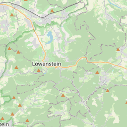
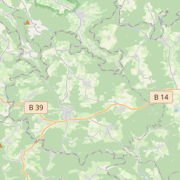
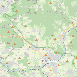
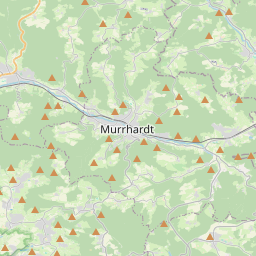
On the map
Last price
—
Floor price
—
7-day median
—
30-day sales
0
30-day range
—
In circulation
0
Price history
median
low – high
sales
No sales in this period
Show table
| Date | median | Low | High | sales |
|---|
Sales history
- Last sale
- —
- 30-day average
- —
- 30-day low
- —
- 30-day high
- —
- Sales 7d
- 0
- Sales 30d
- 0
No sales yet.
Anonymous sales: no buyer or seller shown. Figures count player-to-player sales only.
From Wikipedia
The Mainhardt Forest is a hill range up to 586.4 m above sea level (NHN) in the counties of Schwäbisch Hall and Heilbronn, Hohenlohekreis and Rems-Murr-Kreis in the German state of Baden-Württemberg. It is named after the municipality of Mainhardt that lies at its centre.
Text: Wikipédia, CC BY-SA 4.0. · Image: Thoroe (CC BY-SA 2.0) ·
Related cards
-

Haardt
Mountain range
Nº Q837186 ★★★
Not listed
-

Dinkelberg
Mountain range
Nº Q1226532 ★★
Not listed
-

Löwenstein Hills
Mountains in Germany
Nº Q1879974 ★★
Not listed
-

Baumberge
Mountain range
Nº Q811522 ★★
Not listed
-

Hütten Hills
Hills in Germany
Nº Q896808 ★★
Not listed
-
Ellwangen Hills
Mountain range
Nº Q1332578 ★
Not listed