
Mainpuri district
District of Uttar Pradesh, India
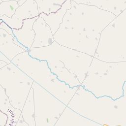
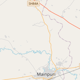
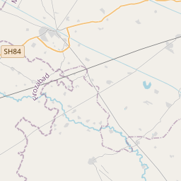
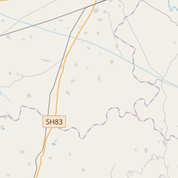
Mainpuri district (Hindi pronunciation: [mɛːn̪.pʊɾiː]) is one of the districts in the Agra division of Uttar Pradesh, India. Mainpuri town is the district headquarters. Mainpuri is located in the southwestern part of Uttar Pradesh, within the Agra division.
Nº Q1816657 ★
Common · Places
Mainpuri district
District of Uttar Pradesh, India
Mainpuri district (Hindi pronunciation: [mɛːn̪.pʊɾiː]) is one of the districts in the Agra division of Uttar Pradesh, India. Mainpuri town is the district headquarters. Mainpuri is located in the southwestern part of Uttar Pradesh, within the Agra division.
On the map
Last price
—
Floor price
—
7-day median
—
30-day sales
0
30-day range
—
In circulation
0
Price history
median
low – high
sales
No sales in this period
Show table
| Date | median | Low | High | sales |
|---|
Sales history
- Last sale
- —
- 30-day average
- —
- 30-day low
- —
- 30-day high
- —
- Sales 7d
- 0
- Sales 30d
- 0
No sales yet.
Anonymous sales: no buyer or seller shown. Figures count player-to-player sales only.
From Wikipedia
Mainpuri district (Hindi pronunciation: [mɛːn̪.pʊɾiː]) is one of the districts in the Agra division of Uttar Pradesh, India. Mainpuri town is the district headquarters. Mainpuri is located in the southwestern part of Uttar Pradesh, within the Agra division. It is situated in the Ganges-Yamuna Doab region. It consists of six tehsils, namely Mainpuri, Bhongaon, Karhal, Kishni, Kurawali and Ghiror. Mainpuri forms part of the ancient legendary region of Lord Krishna's land called Braj. It is bounded on the north by Etah district, on the east by the districts Farrukhabad and Kannauj, on the south by Etawah district and on the west by the districts Firozabad and Etah. It lies between north latitude 260 53′ to 270 31′ and east longitude 780 27′ to 790 26′. According to the 2011 census, Mainpuri district has a population of 1,847,194. The district has a population density of 670 inhabitants per square kilometre (1,700/sq mi). Mainpuri has a sex ratio of 876 females for every 1000 males, and a literacy rate of 78.26%.
Text: Wikipédia, CC BY-SA 4.0. · Image: Gyanendra_Singh_Chau… (CC BY 3.0) ·
Related cards
Cintapuri Darussalam
District in Banjar Regency, South Kalimantan Province, Indonesia
Nº Q12479194 ★★

Jalpaiguri district
District in West Bengal, India
Nº Q1351487 ★
Bangsri
District in Jepara Regency, Central Java Province, Indonesia
Nº Q3934691 ★★★
Banyuurip, Purworejo
District in Purworejo Regency, Central Java Province, Indonesia
Nº Q4199008 ★★★

Chishti Sharif District
District in Herat Province, Afghanistan
Nº Q3696177 ★★
Purwodadi
District in Pasuruan Regency, East Java Province, Indonesia
Nº Q9298897 ★★★