
Mandakini River
River in India
The Mandakini River is a tributary of the Alaknanda River in the Indian state of Uttarakhand. The river runs for approximately 81 kilometres (50 mi) between the Rudraprayag and Sonprayag areas and emerges from the Chorabari Glacier.
Nº Q3520922 ★★
Uncommon · Places
Mandakini River
River in India
The Mandakini River is a tributary of the Alaknanda River in the Indian state of Uttarakhand. The river runs for approximately 81 kilometres (50 mi) between the Rudraprayag and Sonprayag areas and emerges from the Chorabari Glacier.
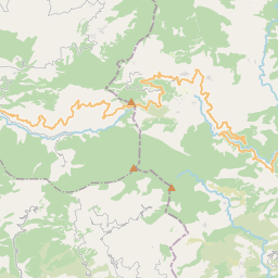
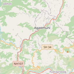
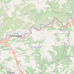
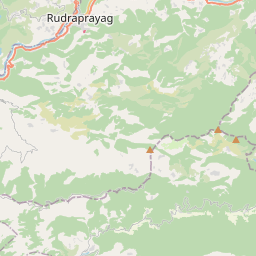
On the map
Last price
—
Floor price
—
7-day median
—
30-day sales
0
30-day range
—
In circulation
0
Price history
median
low – high
sales
No sales in this period
Show table
| Date | median | Low | High | sales |
|---|
Sales history
- Last sale
- —
- 30-day average
- —
- 30-day low
- —
- 30-day high
- —
- Sales 7d
- 0
- Sales 30d
- 0
No sales yet.
Anonymous sales: no buyer or seller shown. Figures count player-to-player sales only.
From Wikipedia
The Mandakini River is a tributary of the Alaknanda River in the Indian state of Uttarakhand. The river runs for approximately 81 kilometres (50 mi) between the Rudraprayag and Sonprayag areas and emerges from the Chorabari Glacier. The Mandakini merges with river Songanga at Sonprayag and flows past the Hindu temple Madhyamaheshwar at Ukhimath. At the end of its course it drains into the Alaknanda, which flows into the Ganges. The Mandakini is considered by Hindus a sacred river within Uttarakhand as it runs past the Kedarnath and Madhyamaheshwar temples. For this reason, the Mandakini has been the site of pilgrimages and religious tourism, with treks passing significant sites of spirituality such as Tungnath and Deoria Tal. The Mandakini area also attracts millions of tourists annually for whitewater rafting, hiking, and religious tours around the winter Chardham being offered. In 2011, more than 25 million tourists visited the river (for comparison, the State of Uttarakhand has a population of about 10 million). The health of the river and surrounding landforms have slowly been degraded, giving rise to environmental conservation projects such as the Kedarnath Wildlife Sanctuary. The Mandakini is subject to heavy rainfall, especially during monsoon season. The annual rainfall within the surrounding region is 1,000–2,000 millimetres (39–79 in), which is elevated almost 70% in monsoon season (late July–October). This heavy rainfall is often responsible for rising water levels and intense flash floods. In conjunction with the collapse of a segment of the dammed Chorabari Lake in 2013, an intense patch of heavy rainfall led to the historical devastation of rural villages and death of thousands of locals, pilgrims and tourists. These are known as the 2013 Kedarnath flash floods.
Text: Wikipédia, CC BY-SA 4.0. · Image: Vvnataraj (CC BY-SA 3.0) ·
Related cards

Bhagirathi River
River in Uttarakhand, India
Nº Q170218 ★

Kedarnath
Town in Unttarakhand, India
Nº Q740167 ★★★

Alaknanda River
River in Uttarakhand, India
Nº Q1419768 ★★

Gandaki River
River in Nepal and India, tributary of Ganges
Nº Q849494 ★★★

Gomti River
River in India
Nº Q477676 ★

Kabini River
River in India
Nº Q3536422 ★★