

Common · Places
Mandel, Germany
Municipality of Germany
Mandel (German pronunciation: [ˈmandl̩] ) is an Ortsgemeinde – a municipality belonging to a Verbandsgemeinde, a kind of collective municipality – in the Bad Kreuznach district in Rhineland-Palatinate, Germany. It belongs to the Verbandsgemeinde of Rüdesheim, whose seat is in the municipality of Rüdesheim an der Nahe.
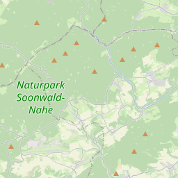
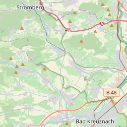
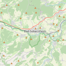
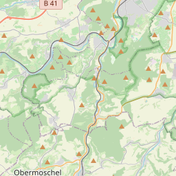
On the map
From Wikipedia
Mandel (German pronunciation: [ˈmandl̩] ) is an Ortsgemeinde – a municipality belonging to a Verbandsgemeinde, a kind of collective municipality – in the Bad Kreuznach district in Rhineland-Palatinate, Germany. It belongs to the Verbandsgemeinde of Rüdesheim, whose seat is in the municipality of Rüdesheim an der Nahe. Mandel is a winegrowing village. Mandel lies in the Naheland (the region either side of the River Nahe), south of the Hunsrück, some 5 km west of Bad Kreuznach amidst vineyards, meadows and woodland. Mandel sits at an elevation of 200 m above sea level and its municipal area measures 6.33 km. Clockwise from the north, Mandel's neighbours are the municipalities of Sankt Katharinen, Roxheim, Rüdesheim an der Nahe, Weinsheim, Sponheim and Braunweiler, all of which likewise lie within the Bad Kreuznach district. Mandel (then Mannendal) had its first documentary mention in 962 as an Imperial fief of Saint Maximin's Abbey in Trier in a document purportedly from Emperor Otto I (although this document is known to be falsified). Given the job of Vögte over the holdings in Mandel by the abbey were the Waldgraves and Rhinegraves. A church, which may well have been consecrated to Saint Maximin himself, had its first documentary mention in 1140 in a document from Pope Innocent II. In 1196, independently from the abbey's holdings, Imperial ministerialis Werner von Bolanden was enfeoffed by the Empire with the jurisdiction, the right to appoint clergy and the tithes.
Text: Wikipédia, CC BY-SA 4.0. · Image: giggel (CC BY 3.0) ·