
Matlock Bath
Village and civil parish in Derbyshire Dales district, Derbyshire, England
Matlock Bath is a village and civil parish in Derbyshire, England. It lies in the Derbyshire Dales, south of Matlock on the main A6 road, and approximately halfway between Buxton and Derby. The population of the civil parish at the 2011 census was 753.
Nº Q738612 ★
Common · Places
Matlock Bath
Village and civil parish in Derbyshire Dales district, Derbyshire, England
Matlock Bath is a village and civil parish in Derbyshire, England. It lies in the Derbyshire Dales, south of Matlock on the main A6 road, and approximately halfway between Buxton and Derby. The population of the civil parish at the 2011 census was 753.
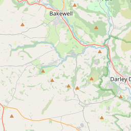
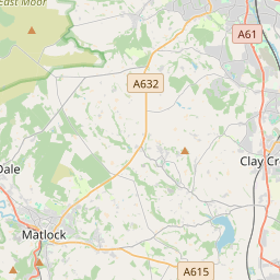
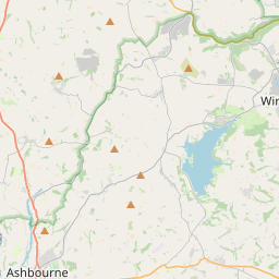
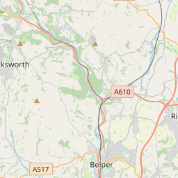
On the map
Last price
—
Floor price
—
7-day median
—
30-day sales
0
30-day range
—
In circulation
0
Price history
median
low – high
sales
No sales in this period
Show table
| Date | median | Low | High | sales |
|---|
Sales history
- Last sale
- —
- 30-day average
- —
- 30-day low
- —
- 30-day high
- —
- Sales 7d
- 0
- Sales 30d
- 0
No sales yet.
Anonymous sales: no buyer or seller shown. Figures count player-to-player sales only.
From Wikipedia
Matlock Bath is a village and civil parish in Derbyshire, England. It lies in the Derbyshire Dales, south of Matlock on the main A6 road, and approximately halfway between Buxton and Derby. The population of the civil parish at the 2011 census was 753. Originally built at the head of a dead-end dirt road running along the valley of the River Derwent from Matlock, the settlement developed in the 19th century as residential and a spa town which remains a tourist destination. The steep hillside restricts development, with most buildings on one side of the valley and only footbridges across the river. The road was upgraded, becoming a through-way, now designated A6, avoiding the previous coaching road approach to Matlock from Cromford over very steep hills near to the Riber plateau area. Matlock Dale is a hamlet about 0.5 miles (0.8 km) north of the village, and the term also refers to this stretch of the river valley.
Text: Wikipédia, CC BY-SA 4.0. · Image: Janine Forbes. (CC BY-SA 2.0) ·
Related cards

Matlock, Derbyshire
Town in Derbyshire, England
Nº Q1337703 ★★

River Derwent, Derbyshire
Principal river of Derbyshire, England
Nº Q939664 ★

Darwen
Market town in Lancashire, UK
Nº Q1166842 ★

Shepton Mallet
Small town in Somerset, England
Nº Q1236661 ★

Derby
City in Derbyshire, in the East Midlands region of England
Nº Q43475 ★★★

Belper
Town and civil parish in Amber Valley, Derbyshire, England
Nº Q2080375 ★