
Mera Peak
Mountain in Nepal
Mera Peak is a mountain in the Mahalangur section, Barun sub-section of the Himalaya and administratively in Nepal's Sagarmatha Zone, Sankhuwasabha. At 6,476 metres (21,247 ft) it is classified as a trekking peak.
Nº Q1441337 ★★
Uncommon · Places
Mera Peak
Mountain in Nepal
Mera Peak is a mountain in the Mahalangur section, Barun sub-section of the Himalaya and administratively in Nepal's Sagarmatha Zone, Sankhuwasabha. At 6,476 metres (21,247 ft) it is classified as a trekking peak.
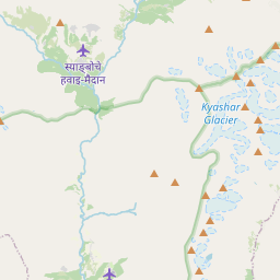
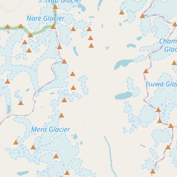
On the map
Last price
—
Floor price
—
7-day median
—
30-day sales
0
30-day range
—
In circulation
0
Price history
median
low – high
sales
No sales in this period
Show table
| Date | median | Low | High | sales |
|---|
Sales history
- Last sale
- —
- 30-day average
- —
- 30-day low
- —
- 30-day high
- —
- Sales 7d
- 0
- Sales 30d
- 0
No sales yet.
Anonymous sales: no buyer or seller shown. Figures count player-to-player sales only.
From Wikipedia
Mera Peak is a mountain in the Mahalangur section, Barun sub-section of the Himalaya and administratively in Nepal's Sagarmatha Zone, Sankhuwasabha. At 6,476 metres (21,247 ft) it is classified as a trekking peak. It contains three main summits: Mera North, 6,476 metres (21,247 ft); Mera Central, 6,461 metres (21,198 ft); and Mera South, 6,065 metres (19,898 ft), as well as a smaller "trekking summit", visible as a distinct summit from the south but not marked on most maps of the region. The height of Mera is often given as 6,654 metres (21,831 ft), and claimed to be the highest trekking peak. This figure actually points to nearby Peak 41, which was mistakenly named Mera in a list of Himalayan peaks, and the figures were copied to the official trekking peak list as they were, including the wrong location coordinates.
Text: Wikipédia, CC BY-SA 4.0. · Image: Mark Horrell (CC BY-SA 4.0) ·
Related cards

Annapurna (mountain range)
Mountain range in the Himalayas
Nº Q159621 ★★★★★

Mount Meru
Sacred geographical object
Nº Q652550 ★★★

Namcha Barwa
Mountain in Tibet, China
Nº Q1050238 ★★

Sagarmatha Zone
Former administrative zone of Nepal
Nº Q9195 ★
Annapurna
Mountain in the Himalayas
Nº Q16466024 ★★★★★

Meratus Mountains
Mountain
Nº Q937746 ★★★