
Metauro
River in Italy
The Metauro is a river in the Marche region of central Italy. It rises in the Apennine Mountains and runs east for 110 kilometres (68 mi) or 121 kilometres (75 mi) if the Meta is included as its uppermost reach. The name of the river in Latin is Metaurus or Mataurus.
Nº Q653678 ★★★
Rare · Places
Metauro
River in Italy
The Metauro is a river in the Marche region of central Italy. It rises in the Apennine Mountains and runs east for 110 kilometres (68 mi) or 121 kilometres (75 mi) if the Meta is included as its uppermost reach. The name of the river in Latin is Metaurus or Mataurus.
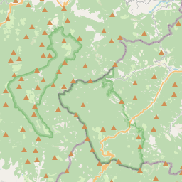
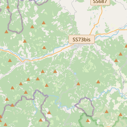
On the map
Last price
—
Floor price
—
7-day median
—
30-day sales
0
30-day range
—
In circulation
0
Price history
median
low – high
sales
No sales in this period
Show table
| Date | median | Low | High | sales |
|---|
Sales history
- Last sale
- —
- 30-day average
- —
- 30-day low
- —
- 30-day high
- —
- Sales 7d
- 0
- Sales 30d
- 0
No sales yet.
Anonymous sales: no buyer or seller shown. Figures count player-to-player sales only.
From Wikipedia
The Metauro is a river in the Marche region of central Italy. It rises in the Apennine Mountains and runs east for 110 kilometres (68 mi) or 121 kilometres (75 mi) if the Meta is included as its uppermost reach. The name of the river in Latin is Metaurus or Mataurus. In Ancient Greek, the name of the river is Métauros, Μέταυρος which stems simply from the union of the two torrents: Meta, running from the Apennine pass Bocca Trabaria, at an elevation of 1,044 metres (3,425 ft), and Auro, flowing from Monte Maggiore, at an elevation of 1,384 metres (4,541 ft). The source of the river is located near Monte dei Frati in the border region between the provinces of Pesaro e Urbino, Arezzo and Perugia. It flows east through Pesaro e Urbino near Mercatello sul Metauro, Sant'Angelo in Vado (where the river forms the Cascata del Sasso, "Waterfall of the Stone"), Urbania, Fermignano, Fossombrone (in whose territory it receives the waters of the Candigliano), and, after flowing into a tight valley, the Gola del Furlo, Montemaggiore al Metauro, from which it starts to flow in a plain area. The river flows northeast near Calcinelli, Saltara, Lucrezia, Cartoceto and Cuccurano before flowing into the Adriatic Sea near Fano.
Text: Wikipédia, CC BY-SA 4.0. · Image: Adri08 (CC BY-SA 3.0) ·


