

Uncommon · Places
Mopti Region
Region of Mali
Mopti (Fulfulde: 𞤁𞤭𞥅𞤱𞤢𞤤 𞤃𞤮𞥅𞤩𞤼𞤭𞥅, transliterated Diiwal Moobti) is the fifth administrative region of Mali, covering 26,550 km2. Its capital is the city of Mopti.
On the map
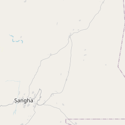

From Wikipedia
Mopti (Fulfulde: 𞤁𞤭𞥅𞤱𞤢𞤤 𞤃𞤮𞥅𞤩𞤼𞤭𞥅, transliterated Diiwal Moobti) is the fifth administrative region of Mali, covering 26,550 km. Its capital is the city of Mopti. During the 2012 Northern Mali conflict, the frontier between Southern Mali which is controlled by the central government and the rebel-held North ran through Mopti Region. Mopti Region borders Tombouctou Region to the north; the Bandiagara and Douentza Regions to the east; San Region to the south; and the Ségou Region to the west. The population in the 2009 census was 2,037,330. The region contains a number of ethnic groups including Fulani, Malinke, and Bambara. The Niger River crosses the region and is joined by the Bani, an important tributary, at the city of Mopti. The region is separated into several areas: the Inland Niger Delta around Mopti, the Bandiagara cliffs and the plain of Bankass along the Burkina Faso frontier. Mount Hombori, the highest point in Mali at 1153 meters, is in the Mopti Region, near the city of the same name. In terms of its climate, Mopti Region is considered part of the Sahel.
Text: Wikipédia, CC BY-SA 4.0. · Image: Personnel (Public domain) ·