
Mount Assiniboine
Mountain in the Canadian Rockies on the border between Alberta and British Columbia
Mount Assiniboine, also known as Assiniboine Mountain, is a pyramidal peak mountain on the Great Divide, on the British Columbia/Alberta border in Canada. At 3,618 m (11,870 ft), it is the highest peak in the Southern Continental Ranges of the Canadian Rockies.
Nº Q1818436 ★
Common · Places
Mount Assiniboine
Mountain in the Canadian Rockies on the border between Alberta and British Columbia
Mount Assiniboine, also known as Assiniboine Mountain, is a pyramidal peak mountain on the Great Divide, on the British Columbia/Alberta border in Canada. At 3,618 m (11,870 ft), it is the highest peak in the Southern Continental Ranges of the Canadian Rockies.
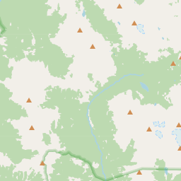
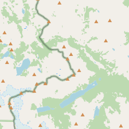
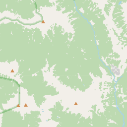
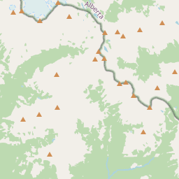
On the map
Last price
—
Floor price
—
7-day median
—
30-day sales
0
30-day range
—
In circulation
0
Price history
median
low – high
sales
No sales in this period
Show table
| Date | median | Low | High | sales |
|---|
Sales history
- Last sale
- —
- 30-day average
- —
- 30-day low
- —
- 30-day high
- —
- Sales 7d
- 0
- Sales 30d
- 0
No sales yet.
Anonymous sales: no buyer or seller shown. Figures count player-to-player sales only.
From Wikipedia
Mount Assiniboine, also known as Assiniboine Mountain, is a pyramidal peak mountain on the Great Divide, on the British Columbia/Alberta border in Canada. At 3,618 m (11,870 ft), it is the highest peak in the Southern Continental Ranges of the Canadian Rockies. Mount Assiniboine rises nearly 1,525 m (5,003 ft) above Lake Magog. Because of its resemblance to the Matterhorn in the Alps, it is nicknamed the "Matterhorn of the Rockies". Mount Assiniboine was named by George M. Dawson in 1885. When Dawson saw Mount Assiniboine from Copper Mountain, he saw a plume of clouds trailing away from the top. This reminded him of the plumes of smoke emanating from the teepees of the Assiniboine people. Mount Assiniboine lies on the border between Mount Assiniboine Provincial Park, in British Columbia, and Banff National Park, in Alberta. The mountain can be reached only by a six-hour hike or horse-pack 27 km (17 mi), three-hour bike ride (now disallowed to reduce human/grizzly encounters), or helicopter.
Text: Wikipédia, CC BY-SA 4.0. · Image: Edna Winti (CC BY 2.0) ·
Related cards

Nub Peak
Mountain in British Columbia, Canada
Nº Q22401689 ★★

Mount Logan
Highest mountain in Canada, in Yukon
Nº Q120306 ★★★

Assiniboine
Indigenous peoples of the northern North American Great Plains
Nº Q682808 ★★

Selkirk Mountains
Subrange of the Columbia Mountains in Canada and the United States
Nº Q1420547 ★

Mount Stanley
Mountain in the Ruwenzori Mountains on the border of the Democratic Republic of the Congo and Uganda
Nº Q221666 ★★

Snowdon
Highest mountain in Wales
Nº Q217142 ★★★