

Common · Places
Mweelrea
Mountain in Mayo, Ireland
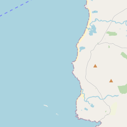
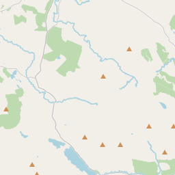
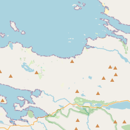
Mweelrea (; from Irish Cnoc Maol Réidh 'bald hill with the smooth top') is a mountain on the Atlantic coast of County Mayo, Ireland. Rising to 814 metres (2,671 ft), it is the highest mountain in the western province of Connacht, and is noted for its southeastern cliff-lined corries, and its views.
On the map

From Wikipedia
Mweelrea (; from Irish Cnoc Maol Réidh 'bald hill with the smooth top') is a mountain on the Atlantic coast of County Mayo, Ireland. Rising to 814 metres (2,671 ft), it is the highest mountain in the western province of Connacht, and is noted for its southeastern cliff-lined corries, and its views. Mweelrea overlooks Killary Harbour and is at the heart of a "horseshoe-shaped" massif that includes the peaks of Ben Lugmore and Ben Bury. The massif is called the Mweelrea Mountains or the Mweelrea Range. Mweelrea is also the 26th-highest peak in Ireland on the Arderin list, and the 34th-highest on the Vandeleur-Lynam list.
Text: Wikipédia, CC BY-SA 4.0. · Image: Britishfinance (CC BY-SA 4.0) ·
Related cards
-
 ★
★
Knocknarea
Mountain in Ireland
-
 ★
★
Galtymore
Mountain in Tipperary/Limerick, Ireland
-
 ★
★
Nephin
Mountain in Ireland
-
 ★★
★★
MacGillycuddy's Reeks
Mountain range in Kerry, Ireland
-
 ★
★
Schiehallion
Mountain in Perth and Kinross, Scotland, UK
-
 ★★
★★
Mourne Mountains
Mountain range in County Down, Northern Ireland, UK