
Nahal Alexander
River in Israel and the West Bank
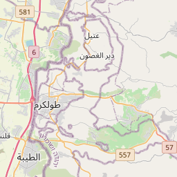
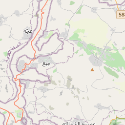
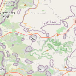
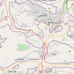
Nahal Alexander and Wadi Zeimar are the names of a river in Israel that flows from the western side of the Samaria mountain belt in the West Bank to the Mediterranean Sea north of Netanya, mostly through the Hefer Valley. Nahal Alexander (Hebrew: נחל אלכסנדר, romanized: Alexander Stream, Arabic: Nahr Iskanderuneh) is the name of the lower 32 km section of the 44 km long river, while Wadi Zeimar is the Arabic name of its upper, 32 km long section.
Nº Q1962200 ★★★★★
Ultra Rare · Places
Nahal Alexander
River in Israel and the West Bank
Nahal Alexander and Wadi Zeimar are the names of a river in Israel that flows from the western side of the Samaria mountain belt in the West Bank to the Mediterranean Sea north of Netanya, mostly through the Hefer Valley. Nahal Alexander (Hebrew: נחל אלכסנדר, romanized: Alexander Stream, Arabic: Nahr Iskanderuneh) is the name of the lower 32 km section of the 44 km long river, while Wadi Zeimar is the Arabic name of its upper, 32 km long section.
On the map
Last price
—
Floor price
—
7-day median
—
30-day sales
0
30-day range
—
In circulation
0
Price history
median
low – high
sales
No sales in this period
Show table
| Date | median | Low | High | sales |
|---|
Sales history
- Last sale
- —
- 30-day average
- —
- 30-day low
- —
- 30-day high
- —
- Sales 7d
- 0
- Sales 30d
- 0
No sales yet.
Anonymous sales: no buyer or seller shown. Figures count player-to-player sales only.
From Wikipedia
Nahal Alexander and Wadi Zeimar are the names of a river in Israel that flows from the western side of the Samaria mountain belt in the West Bank to the Mediterranean Sea north of Netanya, mostly through the Hefer Valley. Nahal Alexander (Hebrew: נחל אלכסנדר, romanized: Alexander Stream, Arabic: Nahr Iskanderuneh) is the name of the lower 32 km section of the 44 km long river, while Wadi Zeimar is the Arabic name of its upper, 32 km long section. The river starts southeast of Kafr Abbush, and its drainage basin drains the Nablus and central Samaria areas, as well as part of the coastal plain. It is the habitat of soft-shell turtles that can reach a size of 1.20 meters, and its lower course with its surroundings is declared a national park. The stream receives water from Nahal Shechem, Wadi et-Tin/Nahal Te'enim, Nahal Ometz, Nahal Behan and Nahal Avichail (named after the moshav).
Text: Wikipédia, CC BY-SA 4.0. · Image: Gotenks33 (GFDL) ·
Related cards

Wadi al-Hawa
River in Israel
Nº Q7218206 ★★★★

Nahal Og
River/wadi in the Palestinian West Bank
Nº Q2513030 ★★★★

Wadi Qelt
River in Israel
Nº Q2920271 ★

Samaria
Historical region in the Levant
Nº Q1294629 ★★★★

Hadera Stream
River in Israel
Nº Q2498901 ★★★★

Nahal Paran
Occasionally dry riverbed in the Negev Desert and the Sinai Peninsula
Nº Q7218373 ★★★★