

Uncommon · Places
Namborn
Municipality of Germany
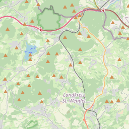
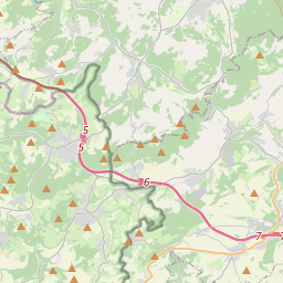
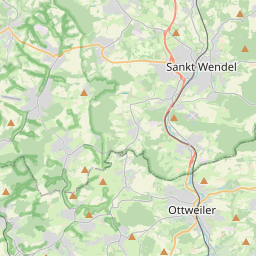
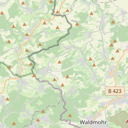
Namborn (German pronunciation: [ˈnambɔʁn]) is a municipality in the district of Sankt Wendel, in Saarland, Germany. It is situated approximately 7 km north of Sankt Wendel, and 25 km southwest of Idar-Oberstein. It is approximately 40 km northeast of Saarbrücken on highway B 41 and the Nahe Valley Railway line.
On the map
From Wikipedia
Namborn (German pronunciation: [ˈnambɔʁn]) is a municipality in the district of Sankt Wendel, in Saarland, Germany. It is situated approximately 7 km north of Sankt Wendel, and 25 km southwest of Idar-Oberstein. It is approximately 40 km northeast of Saarbrücken on highway B 41 and the Nahe Valley Railway line. The distance to the Bostalsee is about 10 km, and to the district seat St. Wendel about 7 km. The most famous landmark of the community is the ruins of Liebenburg Castle on the Schloßberg in the Eisweiler district. The administrative center is located in the Hofeld-Mauschbach district because of its convenient transport links and central location. Namborn is located in a low wooded mountain range between the rivers Nahe and Blies in the Saar-Hunsrück Nature Park. The highest elevation is the Friedenberg in Hirstein at 509 m; the lowest point is 298 m in Urweiler, where the Todbach leaves Namborn for St. Wendel. Recognized natural monuments are the Wendalinushöhle (Wendelin's cave) in Baltersweiler, a historic Linden tree in Furschweiler, the Allerbach rock wall in Namborn, and 3 Oaks in Roschberg. Namborn is composed of the following ten districts: Baltersweiler, Eisweiler, Furschweiler, Gehweiler, Heisterberg, Hirstein, Hofeld-Mauschbach, Namborn, Pinsweiler, and Roschberg.
Text: Wikipédia, CC BY-SA 4.0. · Image: Speifensender (CC BY-SA 3.0) ·