

Common · Places
Narayangaon
Human settlement in India
Narayangaon is a town in the Junnar taluka of the Pune district of Maharashtra state, India. Water is abundant because of its proximity to the major dams, the western ghats, and the Sahyadri mountain range.
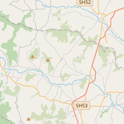
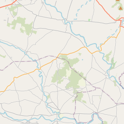
On the map
From Wikipedia
Narayangaon is a town in the Junnar taluka of the Pune district of Maharashtra state, India. Water is abundant because of its proximity to the major dams, the western ghats, and the Sahyadri mountain range. Narayangaon is located 656 m (2,152 ft) above sea level on the western margin of the Deccan plateau. It is situated on the leeward side of the Sahyadri mountain range, which forms a barrier from the Arabian sea. Narayangaon is on the bank of the river Meena. A wide hill range in the south separates the town from the adjoining Ambegaon taluka. Narayangaon can be reached from major cities via road. It is situated on Pune-Nasik National Highway 50. It is 77 km north of Pune, 132 km south of Nasik and around 176 km east of the state capital, Mumbai. Shivneri Fort, the birthplace of Chhatrapati Shivaji Maharaj, who founded and ruled the Maratha Kingdom during the 17th century, is 16 km away from Narayangaon.
Text: Wikipédia, CC BY-SA 4.0. · Image: The original uploader was MeganKA at English Wikipedia. (CC BY 2.0) ·