
Neryungrinsky District
Municipal district in Russia
Neryungrinsky District (Russian: Нерюнгри́нский улу́с; Yakut: Нүөрүҥгүрү улууһа, Nüörüŋgürü uluuha, Yakut pronunciation: [nyøɾyŋgyɾy uluːha]) is an administrative and municipal district (raion, or ulus), one of the thirty-four in the Sakha Republic, Russia. It is the southernmost district of Sakha and borders Aldansky District in the north, Olyokminsky District in the west and south, Amur Oblast and a small area of Zabaykalsky Krai in the west, and Khabarovsk Krai in the east.
Nº Q857552 ★★
Uncommon · Places
Neryungrinsky District
Municipal district in Russia
Neryungrinsky District (Russian: Нерюнгри́нский улу́с; Yakut: Нүөрүҥгүрү улууһа, Nüörüŋgürü uluuha, Yakut pronunciation: [nyøɾyŋgyɾy uluːha]) is an administrative and municipal district (raion, or ulus), one of the thirty-four in the Sakha Republic, Russia. It is the southernmost district of Sakha and borders Aldansky District in the north, Olyokminsky District in the west and south, Amur Oblast and a small area of Zabaykalsky Krai in the west, and Khabarovsk Krai in the east.
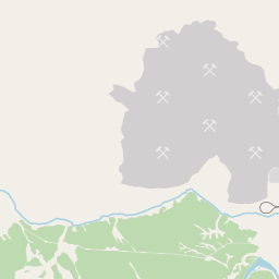
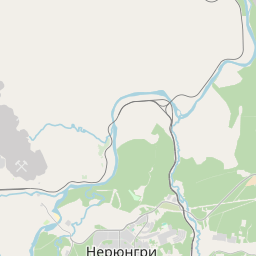
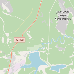
On the map
Last price
—
Floor price
—
7-day median
—
30-day sales
0
30-day range
—
In circulation
0
Price history
median
low – high
sales
No sales in this period
Show table
| Date | median | Low | High | sales |
|---|
Sales history
- Last sale
- —
- 30-day average
- —
- 30-day low
- —
- 30-day high
- —
- Sales 7d
- 0
- Sales 30d
- 0
No sales yet.
Anonymous sales: no buyer or seller shown. Figures count player-to-player sales only.
From Wikipedia
Neryungrinsky District (Russian: Нерюнгри́нский улу́с; Yakut: Нүөрүҥгүрү улууһа, Nüörüŋgürü uluuha, Yakut pronunciation: [nyøɾyŋgyɾy uluːha]) is an administrative and municipal district (raion, or ulus), one of the thirty-four in the Sakha Republic, Russia. It is the southernmost district of Sakha and borders Aldansky District in the north, Olyokminsky District in the west and south, Amur Oblast and a small area of Zabaykalsky Krai in the west, and Khabarovsk Krai in the east. The area of the district is 98,900 square kilometers (38,200 sq mi). Its administrative center is the town of Neryungri. Population (excluding the administrative center): 21,019 (2010 census).
Text: Wikipédia, CC BY-SA 4.0. · Image: Svetlana Ivanova (CC BY 3.0) ·
Related cards
-

Olyokminsky District
Municipal district in Russia
Nº Q547162 ★★
Not listed
-
N
Nyurbinsky District
District of the Sakha Republic, Russia
Nº Q639808 ★★
Not listed
-

Mirninsky District
Municipal district in Russia
Nº Q1094915 ★★
Not listed
-
O
Olenyoksky District
Municipal district in Russia
Nº Q1073180 ★★
Not listed
-

Suntarsky District
Municipal district in Russia
Nº Q570186 ★★
Not listed
-

Lensky District, Sakha Republic
Municipal district in Russia
Nº Q511506 ★★
Not listed