

Common · Places
Newtonmore
Village in Highland, Scotland, UK
Newtonmore (Scottish Gaelic: Baile Ùr an t-Slèibh [ˈpˠalʲ uːɾˠ ən̪ˠ ˈt̪ʰlʲeːv]) is a village of approximately 1100 inhabitants in Badenoch, within the Highland council area of Scotland. The village is only a few miles from a location that is claimed to be the exact geographical centre of Scotland.
On the map
From Wikipedia
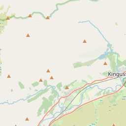
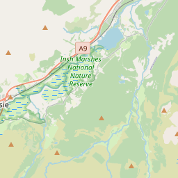
Newtonmore (Scottish Gaelic: Baile Ùr an t-Slèibh [ˈpˠalʲ uːɾˠ ən̪ˠ ˈt̪ʰlʲeːv]) is a village of approximately 1100 inhabitants in Badenoch, within the Highland council area of Scotland. The village is only a few miles from a location that is claimed to be the exact geographical centre of Scotland. Newtonmore is located within the Cairngorms National Park, approximately 3 miles (5 km) south-west of Kingussie and 15 miles (24 km) south-west of Aviemore. It is on the northeastern bank of the River Spey, between the River Calder and the Allt Lairaidh, at an altitude of approximately 250 metres (820 ft).
Text: Wikipédia, CC BY-SA 4.0. · Image: Philip Taylor, Personal Photo, Free License (Public domain) ·
Related cards
-
 ★
★
Kingussie
Town in Highland, Scotland, UK
-
 ★
★
Badenoch
Traditional district in the Highland region of Scotland
-
 ★
★
Newton Mearns
Town in East Renfrewshire, Scotland, UK
-
 ★
★
Carrbridge
Human settlement in Highland, Scotland, UK
-
 ★
★
Inverie
Human settlement in Highland, Scotland, UK
-
 ★★
★★
Strathspey, Scotland
Valley of River Spey in Moray and Highland, Scotland, UK