

Uncommon · Places
Niya County
County
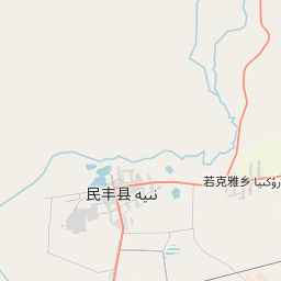
Niya County (transliterated from the Uyghur نىيە ناھىيىسى Niyă Nahiyisi ; Chinese: 尼雅县), also from Mandarin Chinese as Minfeng County (Chinese: 民丰县), is a county within the Xinjiang Uyghur Autonomous Region and is under the administration of the Hotan Prefecture. It contains an area of 56,726 km2 (21,902 sq mi).
On the map
From Wikipedia
Niya County (transliterated from the Uyghur نىيە ناھىيىسى Niyă Nahiyisi ; Chinese: 尼雅县), also from Mandarin Chinese as Minfeng County (Chinese: 民丰县), is a county within the Xinjiang Uyghur Autonomous Region and is under the administration of the Hotan Prefecture. It contains an area of 56,726 km (21,902 sq mi). According to the 2002 census, it has a population of 30,000. The county is bordered to the north by Xayar County, to the east by Qiemo/Qarqan County, to the west by Yutian / Keriya County and to the south by Ngari Prefecture in Tibet. The county seat is in the town of Niya, which is often referred to by the county name (Minfeng) as well. The Niya ruins are located 115 km north of Niya. The earliest known political entities within the territory of the present-day county can be traced back to the ancient kingdoms of Jingjue and Ronglu during the Western Han dynasty. In 59 BCE, during the third year of the Shenjue era of the Western Han, the area was incorporated into the jurisdiction of the Protectorate of the Western Regions. During the Eastern Han dynasty, it was absorbed into the Shanshan kingdom and administered by the Chief Official of the Western Regions. During the Three Kingdoms period, the area became part of the Kingdom of Khotan.
Text: Wikipédia, CC BY-SA 4.0. · Image: loveshasha (CC BY-SA 3.0) ·