
Oamaru
Town in North Otago, in the South Island of New Zealand
Oamaru, the largest town in North Otago, in the South Island of New Zealand, is the main town of the Waitaki District. It is 80 kilometres (50 mi) south of Timaru and 120 kilometres (75 mi) north of Dunedin on the Pacific coast; State Highway 1 and the railway Main South Line connect it to both cities.
Nº Q4782 ★★
Uncommon · Places
Oamaru
Town in North Otago, in the South Island of New Zealand
Oamaru, the largest town in North Otago, in the South Island of New Zealand, is the main town of the Waitaki District. It is 80 kilometres (50 mi) south of Timaru and 120 kilometres (75 mi) north of Dunedin on the Pacific coast; State Highway 1 and the railway Main South Line connect it to both cities.
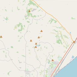
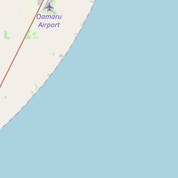
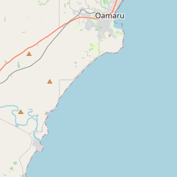
On the map

Last price
—
Floor price
—
7-day median
—
30-day sales
0
30-day range
—
In circulation
0
Price history
median
low – high
sales
No sales in this period
Show table
| Date | median | Low | High | sales |
|---|
Sales history
- Last sale
- —
- 30-day average
- —
- 30-day low
- —
- 30-day high
- —
- Sales 7d
- 0
- Sales 30d
- 0
No sales yet.
Anonymous sales: no buyer or seller shown. Figures count player-to-player sales only.
From Wikipedia
Oamaru, the largest town in North Otago, in the South Island of New Zealand, is the main town of the Waitaki District. It is 80 kilometres (50 mi) south of Timaru and 120 kilometres (75 mi) north of Dunedin on the Pacific coast; State Highway 1 and the railway Main South Line connect it to both cities. With a population of 14,300, Oamaru is the 28th largest urban area in New Zealand, and the third largest in Otago behind Dunedin and Queenstown. The town is the seat of Waitaki District, which includes the surrounding towns of Kurow, Weston, Palmerston, and Hampden, which combined have a population of 23,200. Friendly Bay is a popular recreational area on the edge of Oamaru Harbour, south of Oamaru's main centre. Just to the north of Oamaru is the substantial Alliance abattoir at Pukeuri, at a major junction with State Highway 83, the main route into the Waitaki Valley. This highway provides a link to Kurow, Omarama, Otematata and via the Lindis Pass to Queenstown and Wānaka. Oamaru serves as the eastern gateway to the Mackenzie Basin, via the Waitaki Valley. Oamaru is built between the rolling hills of limestone and short stretch of flat land to the sea. The limestone rock is used for the construction of local "Oamaru stone", sometimes called "whitestone", buildings. Oamaru enjoys a protected location in the shelter of Cape Wanbrow. The town was laid out in 1858 by Otago's provincial surveyor John Turnbull Thomson, who named the early streets after British rivers, particularly rivers in the northwest and southeast of the country. The name Oamaru derives from the Māori and can be translated as 'the place of Maru' (cf. Timaru). The identity of Maru remains open to conjecture.
Text: Wikipédia, CC BY-SA 4.0. · Image: W. Bulach (CC BY-SA 4.0) ·
Related cards

Timaru
Town in New Zealand's South Island
Nº Q1016574 ★★

Aomori Prefecture
Prefecture of Japan
Nº Q71699 ★★★★★

Otago
Region in the southeast of New Zealand's South Island
Nº Q692912 ★★

Canterbury Region
Region of New Zealand's South Island
Nº Q657004 ★★

Northland Region
Region at the northern end of New Zealand's North Island
Nº Q59596 ★★

Palmerston North
City on the North Island in New Zealand
Nº Q212289 ★★