
Oirsbeek
Village in Beekdaelen, Netherlands
Oirsbeek is a village in the southeast of the Netherlands, part of the municipality of Beekdaelen. Between 1839 and 1982, Oirsbeek was a separate municipality.
Nº Q2640688 ★★★
Rare · Places
Oirsbeek
Village in Beekdaelen, Netherlands
Oirsbeek is a village in the southeast of the Netherlands, part of the municipality of Beekdaelen. Between 1839 and 1982, Oirsbeek was a separate municipality.
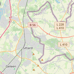
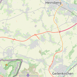
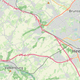
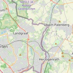
On the map
Last price
—
Floor price
—
7-day median
—
30-day sales
0
30-day range
—
In circulation
0
Price history
median
low – high
sales
No sales in this period
Show table
| Date | median | Low | High | sales |
|---|
Sales history
- Last sale
- —
- 30-day average
- —
- 30-day low
- —
- 30-day high
- —
- Sales 7d
- 0
- Sales 30d
- 0
No sales yet.
Anonymous sales: no buyer or seller shown. Figures count player-to-player sales only.
From Wikipedia
Oirsbeek is a village in the southeast of the Netherlands, part of the municipality of Beekdaelen. Between 1839 and 1982, Oirsbeek was a separate municipality. The Sint Lambertuskerk, a Roman Catholic Church, was built in 1951 by Frits Peutz on the remains of two older churches: the original church built in 1514 and a second church built in 1830. It is unknown where the name Oirsbeek originates from. It is certain that the name has to do with "beek", the is Dutch word for creek, that used to flow through the village. "Oir" could come from "Oer" (meaning iron-rich dirt) which is found in the area. The creek was called "vloot" by people from Oirsbeek in the past. Currently it runs through a tube in the ground under the "Grachtstraat". From there it flows in the direction of Wolfhagen, part of the village of Schinnen. Oirsbeek used to be one of 4 suburbs, "Gracht", "Klein-Doenrade", "Oirsbeek" and "Oppeven".
Text: Wikipédia, CC BY-SA 4.0. · Image: Hverbiesen at Dutch Wikipedia (CC BY-SA 3.0) ·
Related cards

Oosterbeek
Village in Renkum, Netherlands
Nº Q2218481 ★★

Merkelbeek
Village in Beekdaelen, Netherlands
Nº Q3030556 ★★★

Giesbeek
Village in Zevenaar, Netherlands
Nº Q171230 ★★★

Hemrik
Village in Opsterland, Netherlands
Nº Q2292528 ★★

Oosterleek
Village in Drechterland, Netherlands
Nº Q2036908 ★★

Doenrade
Village in Beekdaelen, Netherlands
Nº Q1906425 ★★★