
Okinawa Prefecture
Prefecture of Japan
Okinawa Prefecture (Japanese: 沖縄県, Hepburn: Okinawa-ken; pronounced [o.kʲi.na.wa(ꜜ.keɴ)]; Okinawan: ウチナーチン, romanized: Uchinaachin) is the southernmost and westernmost prefecture of Japan. It consists of three main island groups—the Okinawa Islands, the Sakishima Islands, and the Daitō Islands—spread across a maritime zone approximately 1,000 kilometers east to west and 400 kilometers north to south.
Nº Q766445 ★★★★★
Ultra Rare · Places
Okinawa Prefecture
Prefecture of Japan
Okinawa Prefecture (Japanese: 沖縄県, Hepburn: Okinawa-ken; pronounced [o.kʲi.na.wa(ꜜ.keɴ)]; Okinawan: ウチナーチン, romanized: Uchinaachin) is the southernmost and westernmost prefecture of Japan. It consists of three main island groups—the Okinawa Islands, the Sakishima Islands, and the Daitō Islands—spread across a maritime zone approximately 1,000 kilometers east to west and 400 kilometers north to south.
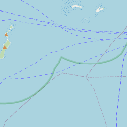
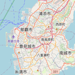
On the map
Last price
—
Floor price
—
7-day median
—
30-day sales
0
30-day range
—
In circulation
0
Price history
median
low – high
sales
No sales in this period
Show table
| Date | median | Low | High | sales |
|---|
Sales history
- Last sale
- —
- 30-day average
- —
- 30-day low
- —
- 30-day high
- —
- Sales 7d
- 0
- Sales 30d
- 0
No sales yet.
Anonymous sales: no buyer or seller shown. Figures count player-to-player sales only.
From Wikipedia
Okinawa Prefecture (Japanese: 沖縄県, Hepburn: Okinawa-ken; pronounced [o.kʲi.na.wa(ꜜ.keɴ)]; Okinawan: ウチナーチン, romanized: Uchinaachin) is the southernmost and westernmost prefecture of Japan. It consists of three main island groups—the Okinawa Islands, the Sakishima Islands, and the Daitō Islands—spread across a maritime zone approximately 1,000 kilometers east to west and 400 kilometers north to south. Despite a modest land area of 2,281 km2 (880 sq mi), Okinawa's territorial extent over surrounding seas makes its total area nearly half the combined size of Honshu, Shikoku, and Kyushu. Of its 160 islands, 49 are inhabited. The largest and most populous island is Okinawa Island, which hosts the capital city, Naha, as well as major urban centers such as Okinawa, Uruma, and Urasoe. The prefecture has a subtropical climate, characterized by warm temperatures and high rainfall throughout the year. People from the Nansei Islands, including Okinawa, the Sakishima Islands, and parts of Kagoshima Prefecture, are often collectively referred to as Ryukyuans. However, there are significant cultural and customary differences between individual islands and even between local communities. Historically the center of the Ryukyu Kingdom, Okinawa long served as a maritime trading hub and cultural gateway; the kingdom participated in the Chinese tributary system—maintaining formal tribute relations with the Ming and Qing—and retained distinct statehood until it was incorporated into Japan as Okinawa Prefecture in 1879 following the Ryukyu Disposition. After the Battle of Okinawa (1945), the islands were under U.S. administration until reversion to Japan in 1972, and today host a large share of U.S. military facilities in Japan (around 70% of the land area exclusively used by U.S. forces in Japan and amounting to about 10% of the prefecture's total land area), a continuing source of local and national debate. A small but persistent independence movement exists, reflecting Okinawa's distinct historical trajectory and identity. Over...
Text: Wikipédia, CC BY-SA 4.0. · Image: 663highland (CC BY 2.5) ·
Related cards

Okinawa Islands
Japanese island group
Nº Q697589 ★★★★

Okinawa Island
Smallest of the five main islands of Japan
Nº Q600614 ★★★★

Okinawa (city)
City in Okinawa prefecture, Japan
Nº Q328615 ★★★★

Okayama Prefecture
Prefecture of Japan
Nº Q132936 ★★★★★

Naha
Capital city of Okinawa prefecture, Japan
Nº Q181966 ★★★★

Japan
Island country in East Asia
Nº Q17 ★★★★★★