
Omak, Washington
City in north-central Washington, United States
Omak ( o-MAK) is a city located in the foothills of the Okanogan Highlands in north-central Washington, United States. With a population of 4,860 as of 2020, distributed over a land area of 3.43 square miles (8.9 km2), Omak is the largest municipality of Okanogan County and the largest municipality in Central Washington north of Wenatchee.
Nº Q1509671 ★
Common · Places
Omak, Washington
City in north-central Washington, United States
Omak ( o-MAK) is a city located in the foothills of the Okanogan Highlands in north-central Washington, United States. With a population of 4,860 as of 2020, distributed over a land area of 3.43 square miles (8.9 km2), Omak is the largest municipality of Okanogan County and the largest municipality in Central Washington north of Wenatchee.
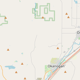
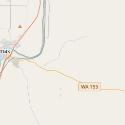
On the map
Last price
—
Floor price
—
7-day median
—
30-day sales
0
30-day range
—
In circulation
0
Price history
median
low – high
sales
No sales in this period
Show table
| Date | median | Low | High | sales |
|---|
Sales history
- Last sale
- —
- 30-day average
- —
- 30-day low
- —
- 30-day high
- —
- Sales 7d
- 0
- Sales 30d
- 0
No sales yet.
Anonymous sales: no buyer or seller shown. Figures count player-to-player sales only.
From Wikipedia
Omak ( o-MAK) is a city located in the foothills of the Okanogan Highlands in north-central Washington, United States. With a population of 4,860 as of 2020, distributed over a land area of 3.43 square miles (8.9 km2), Omak is the largest municipality of Okanogan County and the largest municipality in Central Washington north of Wenatchee. The Greater Omak Area has around 8,229 inhabitants as of the 2010 census. This makes the largest urban cluster in the Okanogan Country region, encompassing most of its twin city of Okanogan. The land that is now Omak had been inhabited by various Native American tribes before the arrival of non-indigenous settlers in the early 19th century. The city began to develop after the completion of the Okanogan Irrigation Project affecting the Grand Coulee Dam and other nearby electric facilities. The housing and municipal infrastructure, along with regional infrastructure connecting the new town to other municipalities, were built simultaneously in 1908 supported by the local agricultural industry. The name Omak comes from the Okanagan placename [umák], or the Salishan term Omache—which is said to mean "good medicine" or "plenty", referring to its favorable climate, with an annual high of around 88 °F (31 °C). Omak acts as the gateway to the Okanogan–Wenatchee National Forest and consists of a central business district and residential neighborhoods. Omak is a code city governed by a seven-member council and located in the state's 4th congressional district. Omak's economy is dominated by the primary sector industries of agriculture and forestry, although economic diversification has occurred with sawmills and recreational tourism. Nearby recreational destinations include walking trails, state parks and national forests, such as Conconully State Park, Bridgeport State Park and Osoyoos Lake State Park. The city is home to a weekly newspaper, the Omak–Okanogan County Chronicle, and a Wenatchee...
Text: Wikipédia, CC BY-SA 4.0. · Image: Joe Mabel (CC BY-SA 3.0) ·
Related cards

Okanogan County, Washington
County in the state of Washington, United States
Nº Q483958 ★★

Wenatchee, Washington
City in Chelan County, Washington, United States
Nº Q958596 ★★

Winthrop, Washington
Town in Washington, United States
Nº Q1505403 ★

Centralia, Washington
City in Lewis County, Washington, United States
Nº Q868700 ★★

Oklahoma City
Capital city of the U.S. state of Oklahoma and seat of Oklahoma County
Nº Q34863 ★★★★

Sequim, Washington
City in Clallam County, Washington, United States
Nº Q1514115 ★★