
Padstow
Town and civil parish in Cornwall, England, UK
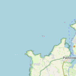
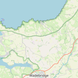
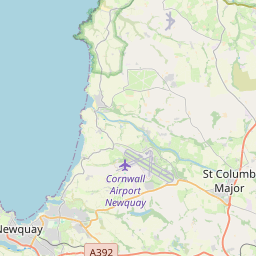
Padstow (; Cornish: Lannwedhenek [lanːwɛˈðɛnɛk] ) is a town, civil parish and fishing port on the north coast of Cornwall, England, United Kingdom. The town is situated on the west bank of the River Camel estuary, approximately 5 miles (8.0 km) northwest of Wadebridge, 10 miles (16 km) northwest of Bodmin and 10 miles (16 km) northeast of Newquay.
Nº Q943931 ★★
Uncommon · Places
Padstow
Town and civil parish in Cornwall, England, UK
Padstow (; Cornish: Lannwedhenek [lanːwɛˈðɛnɛk] ) is a town, civil parish and fishing port on the north coast of Cornwall, England, United Kingdom. The town is situated on the west bank of the River Camel estuary, approximately 5 miles (8.0 km) northwest of Wadebridge, 10 miles (16 km) northwest of Bodmin and 10 miles (16 km) northeast of Newquay.
On the map
Last price
—
Floor price
—
7-day median
—
30-day sales
0
30-day range
—
In circulation
0
Price history
median
low – high
sales
No sales in this period
Show table
| Date | median | Low | High | sales |
|---|
Sales history
- Last sale
- —
- 30-day average
- —
- 30-day low
- —
- 30-day high
- —
- Sales 7d
- 0
- Sales 30d
- 0
No sales yet.
Anonymous sales: no buyer or seller shown. Figures count player-to-player sales only.
From Wikipedia
Padstow (; Cornish: Lannwedhenek [lanːwɛˈðɛnɛk] ) is a town, civil parish and fishing port on the north coast of Cornwall, England, United Kingdom. The town is situated on the west bank of the River Camel estuary, approximately 5 miles (8.0 km) northwest of Wadebridge, 10 miles (16 km) northwest of Bodmin and 10 miles (16 km) northeast of Newquay. As well as Padstow itself, the parish also includes the village of Trevone and surrounding rural areas. At the 2021 census the population of the parish was 2,669 and the population of the built up area was 2,298. The geology of the low plateau west of Padstow has resulted in such features as Tregudda Gorge where erosion along the faultline has caused sheer cliffs to form; and Marble Cliffs which has alternating dark grey and light grey strata. The Round Hole is a collapsed sea cave.
Text: Wikipédia, CC BY-SA 4.0. · Image: Personal photograph taken by Mick Knapton at en.wikipedia (CC BY-SA 3.0) ·
Related cards

Wadebridge
Town and civil parish in north Cornwall
Nº Q261619 ★

Newquay
Town, civil parish, seaside resort and fishing port in Cornwall, England
Nº Q943517 ★★

Bude
Town in Cornwall, England, UK
Nº Q984974 ★★

Porthleven
Town, civil parish and fishing port in Cornwall, UK
Nº Q2930793 ★

Cornwall
Historic county of England and Celtic nation
Nº Q23148 ★★★★★

Perranporth
Village in Cornwall, the United Kingdom
Nº Q390260 ★