

Common · Places
Paytakaran
Historical province of Greater Armenia
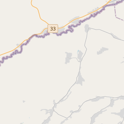
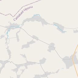
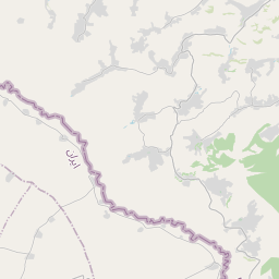
Paytakaran (Armenian: Փայտակարան, romanized: Pʻaytakaran) was the easternmost province (nahang or ashkharh) of the Kingdom of Armenia. The province was located in the area of the lower courses of the Kura and Arax rivers, adjacent to the Caspian Sea.
On the map
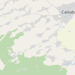
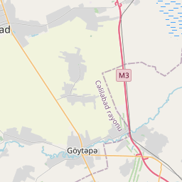
From Wikipedia
Paytakaran (Armenian: Փայտակարան, romanized: Pʻaytakaran) was the easternmost province (nahang or ashkharh) of the Kingdom of Armenia. The province was located in the area of the lower courses of the Kura and Arax rivers, adjacent to the Caspian Sea. It corresponded to the territory known as Caspiane to Greco-Roman sources (Kaspkʻ or Kazbkʻ in Armenian sources). Today, the area is located in the territory of modern-day southeastern Azerbaijan and northwestern Iran. The centre of the province was the town of Paytakaran, after which it was named.
Text: Wikipédia, CC BY-SA 4.0. · Image: Hovik95 (talk) (Public domain) ·
Related cards
-
 ★
★
Balasagan
Province of the Sasanian Empire
-
 ★
★
Upper Armenia
Historical province of Greater Armenia
-
 ★★
★★
Tigranakert of Artsakh
Archaeological site in Azerbaijan
-
 ★★★
★★★
Artashat, Armenia
City in Armenia
-
 ★★
★★
Gugark
Historical province of Greater Armenia
-
 ★★★
★★★
Arran (Caucasus)
Historical-geographical region in Azerbaijan