
Pinka
River
The Pinka (German pronunciation: [ˈpɪŋka] ) is a river in Central Europe with a length of approximately 100 km (60 mi). Its basin area is 1,299 km2 (502 sq mi). Its source is located in Styria, eastern Austria, next to the provincial border of Burgenland.
Nº Q701862 ★
Common · Places
Pinka
River
The Pinka (German pronunciation: [ˈpɪŋka] ) is a river in Central Europe with a length of approximately 100 km (60 mi). Its basin area is 1,299 km2 (502 sq mi). Its source is located in Styria, eastern Austria, next to the provincial border of Burgenland.
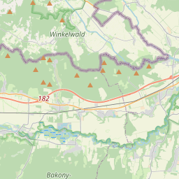
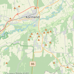
On the map
Last price
—
Floor price
—
7-day median
—
30-day sales
0
30-day range
—
In circulation
0
Price history
median
low – high
sales
No sales in this period
Show table
| Date | median | Low | High | sales |
|---|
Sales history
- Last sale
- —
- 30-day average
- —
- 30-day low
- —
- 30-day high
- —
- Sales 7d
- 0
- Sales 30d
- 0
No sales yet.
Anonymous sales: no buyer or seller shown. Figures count player-to-player sales only.
From Wikipedia
The Pinka (German pronunciation: [ˈpɪŋka] ) is a river in Central Europe with a length of approximately 100 km (60 mi). Its basin area is 1,299 km2 (502 sq mi). Its source is located in Styria, eastern Austria, next to the provincial border of Burgenland. It passes into Hungary between the villages of Burg and Felsőcsatár, and crosses the Austrian-Hungarian border five times. Further, it flows into the Rába river, itself a tributary of the Danube, near Körmend. Its main tributaries are the Strem, the Zickenbach and the Tauchenbach. Important towns on its course are Pinkafeld and Oberwart, as well as Pinggau, Riedlingsdorf, Rotenturm an der Pinka and Eberau in Austria and Horvátlövő, Pinkamindszent and Körmend in Hungary.
Text: Wikipédia, CC BY-SA 4.0. · Image: Funke (CC BY-SA 4.0) ·
Related cards
-

Mur (river)
River in Central Europe
Nº Q204040 ★★★★
Not listed
-

Drava
River in Italy, Austria, Slovenia, Croatia and Hungary
Nº Q171009 ★★★★★
Not listed
-

Lafnitz (river)
River in Austria
Nº Q685482 ★★
Not listed
-

Tisza
River in Europe
Nº Q134350 ★★★★
Not listed
-

Pina (river)
River in Belarus
Nº Q647126 ★★
Not listed
-

Wulka
River in Austria
Nº Q877542 ★★
Not listed