
Pir Panjal Range
Mountains in India
The Pir Panjal Range (/piːr pʌnˈdʒɑːl/) is a range of mountains in the Lower Himalayan region located in the Western Himalayas of the northern Indian subcontinent. It runs southeast to northwest between the Beas and Neelam/Kishanganga rivers, in the Indian state of Himachal Pradesh and Indian-administered union territory of Jammu and Kashmir, with its northwestern end extending into territory administered by Pakistan.
Nº Q2352081 ★★
Uncommon · Places
Pir Panjal Range
Mountains in India
The Pir Panjal Range (/piːr pʌnˈdʒɑːl/) is a range of mountains in the Lower Himalayan region located in the Western Himalayas of the northern Indian subcontinent. It runs southeast to northwest between the Beas and Neelam/Kishanganga rivers, in the Indian state of Himachal Pradesh and Indian-administered union territory of Jammu and Kashmir, with its northwestern end extending into territory administered by Pakistan.
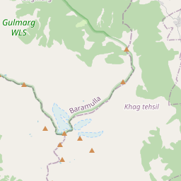
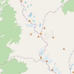
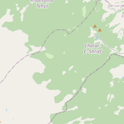
On the map
Last price
—
Floor price
—
7-day median
—
30-day sales
0
30-day range
—
In circulation
0
Price history
median
low – high
sales
No sales in this period
Show table
| Date | median | Low | High | sales |
|---|
Sales history
- Last sale
- —
- 30-day average
- —
- 30-day low
- —
- 30-day high
- —
- Sales 7d
- 0
- Sales 30d
- 0
No sales yet.
Anonymous sales: no buyer or seller shown. Figures count player-to-player sales only.
From Wikipedia
The Pir Panjal Range (/piːr pʌnˈdʒɑːl/) is a range of mountains in the Lower Himalayan region located in the Western Himalayas of the northern Indian subcontinent. It runs southeast to northwest between the Beas and Neelam/Kishanganga rivers, in the Indian state of Himachal Pradesh and Indian-administered union territory of Jammu and Kashmir, with its northwestern end extending into territory administered by Pakistan. The Himalayas show a gradual elevation towards the Dhauladhar and Pir Panjal ranges. Pir Panjal is the largest and westernmost range of the Lesser Himalayas. Near the banks of the Sutlej River, it dissociates itself from the main Himalayan range and forms a divide between the Beas and Ravi rivers on one side and the Chenab on the other. Further west, the Pir Panjal range forms the southwestern boundary of the Kashmir Valley, separating it from the hills of Jammu region, forming a divide between the Jhelum River and Chenab River.
Text: Wikipédia, CC BY-SA 4.0. · Image: Just Jimish (CC BY 2.0) ·
Related cards

Kashmir Valley
Intermontane valley in Jammu and Kashmir, bounded on the southwest by the Pir Panjal Range and on the northeast by the main Himalayas
Nº Q2361576 ★★

Nanga Parbat
Mountain in Pakistan; 9th highest in the world
Nº Q130736 ★★★★★

Langtang Lirung
Mountain in Nepal
Nº Q1551402 ★★★★

Rohtang Pass
Mountain pass
Nº Q633415 ★★

Pothohar Plateau
Place in Punjab Province, Pakistan
Nº Q1790133 ★

Kala Patthar
Landmark located on the south ridge of Pumori in the Nepalese Himalayas
Nº Q1511454 ★★